Pricing Change
New pricing for orders of material from this site will come into place shortly. Charges for supply of digital images, digitisation on demand, prints and licensing will be altered.
Upcoming Maintenance
Please be advised that this website will undergo scheduled maintenance on the following dates:
Thursday, 9 January: 11:00 AM - 3:00 PM
Thursday, 23 January: 11:00 AM - 3:00 PM
Thursday, 30 January: 11:00 AM - 3:00 PM
During these times, some functionality such as image purchasing may be temporarily unavailable. We apologise for any inconvenience this may cause.
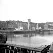
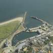
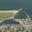
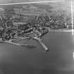
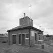
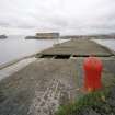
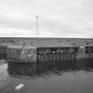
Kirkcaldy, Dock And Harbour
Dock (19th Century), Harbour (19th Century)
Site Name Kirkcaldy, Dock And Harbour
Classification Dock (19th Century), Harbour (19th Century)
Alternative Name(s) Firth Of Forth; Outer Forth Estuary
Canmore ID 52938
Site Number NT29SE 44
NGR NT 28549 91932
Datum OSGB36 - NGR
Permalink http://canmore.org.uk/site/52938
First 100 images shown. See the Collections panel (below) for a link to all digital images.
- Council Fife
- Parish Kirkcaldy And Dysart
- Former Region Fife
- Former District Kirkcaldy
- Former County Fife
NT29SE 44.00 28549 91932
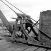
NT29SE 44.01 NT 2853 9197 to NT 2856 9197 capstans
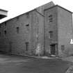
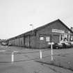
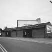
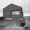
NT29SE 44.03 NT 2854 9219 warehouse
NT29SE 44.03 NT 2856 9221 warehouse
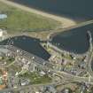
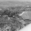
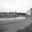
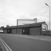
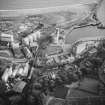
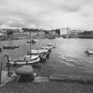
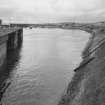
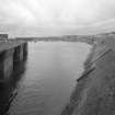
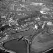
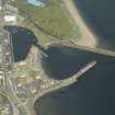
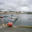
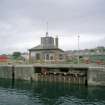
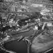
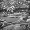
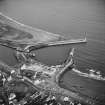
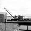
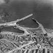
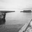
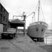
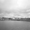
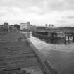
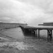
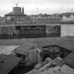
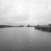
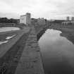
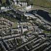
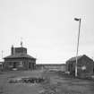
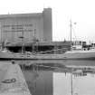
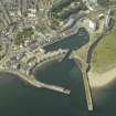
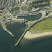
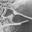
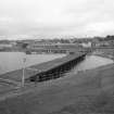
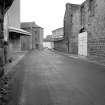
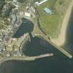
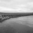
(Location cited as NT 285 920). Kirkcaldy Harbour, improved 1843 and 1909. Consists of an inner and an outer basin, the former gated, with two piers.There is a swing bridge over the entrance to the inner basin. The works are executed partly in rubble and partly in concrete, and built 1909. Associated with the harbour are 1-, 2-, 3- and 4-storey warehouses of various dates.
J R Hume 1976.
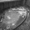
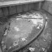
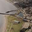
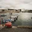
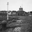
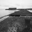
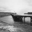
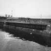
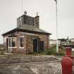
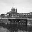
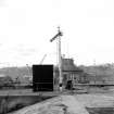
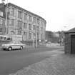
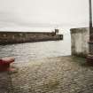
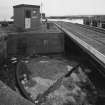
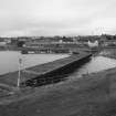
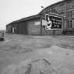
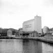
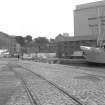
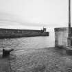
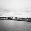
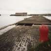
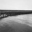
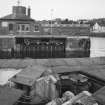
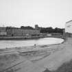
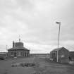
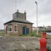
A photographic survey of the various surviving components of the harbour was carried out prior to a proposed development designed to transform and rehabilitate the area. The harbour's commercial facilities had been disused for many years.
Information from RCAHMS (MKO), 24 June 1998
Site recorded by Maritime Fife during the Coastal Assessment Survey for Historic Scotland, Kincardine to Fife Ness 1996
NT29SE 44.00 28549 91932
Engineers:
James Craig 1788
Robert Stevenson 1821
Reference
Plans:
Held by Kirkcaldy Museum and Library
James Craig
1788 Plan
Robert Stevenson
1821 Plan
1822 Plan of East Pier
1833 3 sheets sluices and rollers
1864/6 Wet dock on East sands plan
1842 2 sheets graving dock
1842 Plans railway from Lochgelly to Harbour
1843 Plans of sections of East pier
1844 Plans of graving dock
1854 Plans of breakwater
1857 Plans of ean? of East pier
1865 3 sheets entrance to wet dock
1872 Plans of sheds at East pier
1872 Plans of general improvements
1874 Plans of wharf
1880 Plans of extension of railway to Kirkcaldy Harbour
1888 2 sheets plans of deep water harbour
1900 Plans of causewayed? acess to beach
Robertson
1906 Plans
1912 2 sheets plans of Harbour
Undated plans
NT29SE 285 918
A photographic survey of the various surviving components of the harbour was carried out prior to a proposed development designed to transform and rehabilitate the area. The harbour's commercial facilities had been disused for many years.
Information from RCAHMS (MKO), 24 June 1998
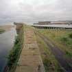
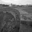
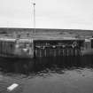
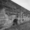
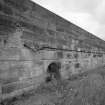
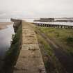
At least 3 builds. N section 2-stage comprising walkway and parapet; coursed rubble sandstone on natural bedrock; steps up to walkway. Middle section (circa 1845): 2-stage comprising walkway and parapet; droved ashlar sandstone (lifting points exposed); round-arched semicircular recesses. S section (1909): parapet and quay; pre-cast concrete; cast-iron pawls.
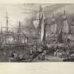
Part of predominantly 19th and 20th centuries harbour and docks, encasing earlier structures. The harbour has been on this site since at least the 17th century, and was known by 1676 as the 'old' and 'new' harbours. Some early structure appears to have been incorporated into the N part of the current inner dock, possibly 1756 extension, and in 1797 authorisation was granted to deepen the new basin. A railway connection was brought to the harbour in 1849, and the NSA mentions major planned improvements to harbour extension of E pier, drawn up by civil engineer James Leslie of Dundee. This almost certainly relates to the middle section of the existing pier, which was carried out in fine ashlar work. Harbour duties formed an important source of income to the town, and much money was expended by the town council to ensure that the harbour continued to meet the requirements of traders. Further extension of the E pier and enlargement of the outer basin took place in 1909, at the height of the linoleum trade. Trade with the Continent prior to the Union included coal, salt and salted fish; Kirkcaldy remained a busy harbour at the start of this century with exports including linoleum, paper, malt, grain and textiles. During WWI it was taken over by the American Navy, and finally closed in 1929. (Historic Scotland)
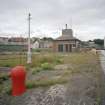
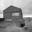
OUTER BASIN AND W PIER: concrete shelf to basin with slipway to W; 2 timber piers adjoining mouth to inner dock. Parapet and quay to W pier; cast-iron pawls; single storey brick warehouse.
The harbour has been on this site since at least the 17th century, and was known by 1676 as the 'old' and 'new' harbours. Some early structure appears to have been incorporated into the N part of the current inner dock, possibly 1756 extension, and in 1797 authorisation was granted to deepen the new basin. A railway connection was brought to the harbour in 1849, and the NSA mentions major planned improvements to harbour extension of E pier, drawn up by civil engineer James Leslie of Dundee. This almost certainly relates to the middle section of the existing pier, which was carried out in fine ashlar work. Harbour duties formed an important source of income to the town, and much money was expended by the town council to ensure that the harbour continued to meet the requirements of traders. Further extension of the E pier and enlargement of the outer basin took place in 1909, at the height of the linoleum trade. Trade with the Continent prior to the Union included coal, salt and salted fish; Kirkcaldy remained a busy harbour at the start of this century with exports including linoleum, paper, malt, grain and textiles. During WWI it was taken over by the American Navy, and finally closed in 1929. (Historic Scotland)


