Following the launch of trove.scot in February 2025 we are now planning the retiral of some of our webservices. Canmore will be switched off on 24th June 2025. Information about the closure can be found on the HES website: Retiral of HES web services | Historic Environment Scotland
Map Search
The Canmore map lets you view site results on a map. It also lets you view the results on different background layers such as historic Ordnance Survey maps and aerial mapping. It is now possible to show additional survey layers on the map. These include:
- Airborne Mapping
- Canmore Areas
- Urban Characterisation
Map Layers

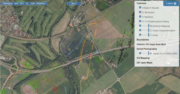
Airborne Mapping
Airborne Mapping shows archaeological features observed from above from sources such as aerial photographs, Airborne Laser Scanning (ALS or Lidar), and satellite imagery.
This information is shown as different colours of lines on the map in the Airborne Mapping layer. Currently it is only available in East Lothian. Fife will be the next area covered.

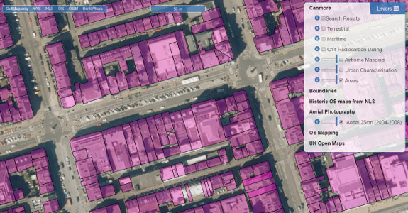
Canmore Areas
Canmore Areas contains known site extents for archaeological monuments in Scotland. The map shows the present extent of mapping using the Defining Scotland’s Places methodology. This methodology was developed in 2010 and has gone on to be adopted by the Scottish Historic Environment Data group as its preferred Technical Specification for mapping the extent of archaeological monuments of Scotland.
For further information please see the Canmore mapping Layer: https://canmore.org.uk/content/data-downloads

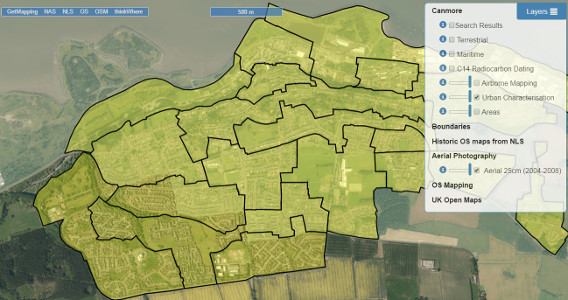
Urban Characterisation
The Urban Characterisation layer shows urban areas studied by HES. The HES Urban Survey Programme carries out an analysis of the historic urban environment through desk-based assessment and field visits. Areas that have been covered so far include the Fountainbridge and Canongate areas of Edinburgh, along with Bo'ness and Rothesay. More areas will be added over time.


