Pricing Change
New pricing for orders of material from this site will come into place shortly. Charges for supply of digital images, digitisation on demand, prints and licensing will be altered.
Port Glasgow, Gourock Ropeworks
Rope Works (18th Century), Sugar Refinery (19th Century)
Site Name Port Glasgow, Gourock Ropeworks
Classification Rope Works (18th Century), Sugar Refinery (19th Century)
Alternative Name(s) Bay Street
Canmore ID 42443
Site Number NS37SW 29
NGR NS 32570 74414
Datum OSGB36 - NGR
Permalink http://canmore.org.uk/site/42443
- Council Inverclyde
- Parish Port Glasgow
- Former Region Strathclyde
- Former District Inverclyde
- Former County Renfrewshire
NS37SW 29 32570 74414
See also NS37SW 30; probably formed a single unit.
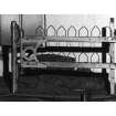
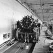
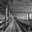
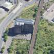
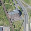
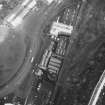
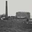
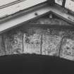
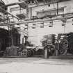
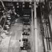
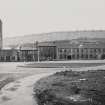
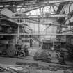
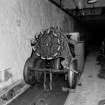
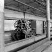
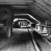
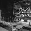
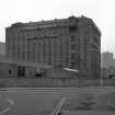
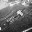
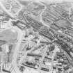
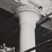
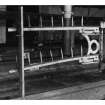
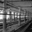
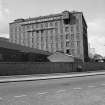
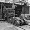
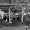
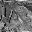
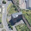
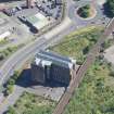
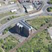
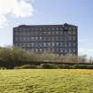
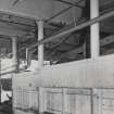
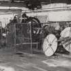
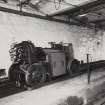
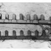
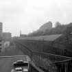
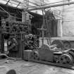
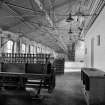
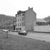
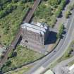
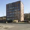
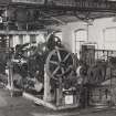
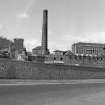
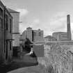
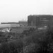
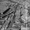
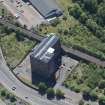
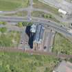
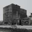
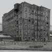
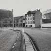
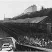
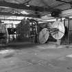
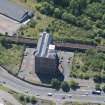
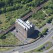
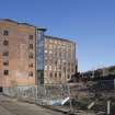
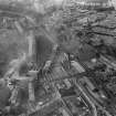
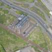
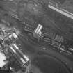
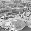
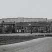
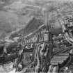
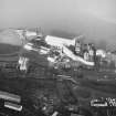
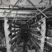
(Location cited as NS 326 745 and name as Gourock Ropeworks). Founded on this site 1797. An interesting group of buildings dominated by a 7-storey and attic, 8-by-15-bay, red-and-white brick structure, originally a sugar refinery (1860's). The oldest part is probably the 2-storey ropewalk which is largely 18th century in construction. The 2-storey, 16-bay ashlar office block with its round-headed windows is also noteworthy.
J R Hume 1976.
NS37SW 29 and NS37SW 30 operated as one unit under the name 'Gourock Ropeworks'. The 7-storey and attic building is now 'A' Listed. The ropewalk was closed in the 1970s and has been demolished.
Information from M Oglethorpe, RCAHMS, 11 May 1988.
Archaeological Evaluation (16 September 2008 - 19 September 2008)
NS 3257 7441 A programme of assessment was undertaken from 16–19 September 2008 in relation to the proposed development of ground surrounding the existing brick built conversion of Gourock Rope Works.
Test pitting encountered human remains in Area A to the E of the Rope Works, while Area B to the W was found to be archaeologically sterile. The strip of the proposed building footprint in Area A uncovered the 19th-century cemetery boundary wall and identified surviving in situ graves along the western side of the development footprint. Disarticulated and disturbed human remains were recovered from 20th century demolition deposits and in situ graves were not disturbed.
Archive: RCAHMS. Report: WoSAS
Funder: Clyde Homes
Katie Sludden (Rathmell Archaeology Limited), 2008
Project (May 2016 - September 2017)
Running from May 2016 to September 2017 and part of the Canmore Mapping Programme, Yard by Yard was an area-focused, desk-based project that tested the Defining Scotland’s Places (DSP) methodology in an area for which the records in the NRHE showed considerable variation from one historic map source to another.
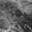
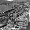
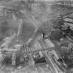
Following discussions with local heritage groups and with the ambition of collecting data useful to the communities’ ambition to develop a coastal heritage trail, the project aimed to map the extent of the shipyards and associated industry between Port Glasgow and Greenock. To achieve this aim, the project used historic mapping, ortho-rectified modern aerial photography and the HES aerial photograph collection to map the extents of, and upgrade the records of, the shipyards and associated features such as quays, docks, areas of land reclamation and associated industry.
Note (2016)
'Gourock Rope Works' is named and depicted on the 2nd edition of the Ordnance Survey 25-inch map (Renfrewshire, 1897, sheet 002.11).
Information from Historic Environment Scotland (HES) Survey and Recording Section (MMD), 5 August 2016.
Note (6 June 2017)
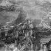
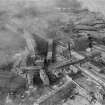
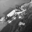
Gourock Rope Works was located SE of Port Glasgow town centre and is depicted on the Great Reform Act plan dating to 1832. It comprised a long narrow rope house measuring at least 220m in length but the plan provides no further contemporary detail. By 1857, when the survey for the 1st edition of the OS 25-inch map (Renfrew 1864, Sheets II.11 and II.12) was undertaken, the rope works had been extended to the E to a total length of 360m, running along parallel to the S side of the Greenock Section of the Caledonian Railway. There were ancillary buildings to the E (bordered by Robert Street) and the same map depicts a large building, now demolished, on the N side of the railway and fronting on to Bay Street which is labelled ‘Gourock Ropework Company’s Warehouse’ (NS 32497 74434). The only substantial remains of the ropeworks is the large brick-built seven-storey building which has been converted into flats.
Information from HES, Survey and Recording (AKK) 2 April 2017.
Test Pit Survey (9 March 2020)
Headland Archaeology (UK) Ltd conducted an archaeological monitoring on waste land adjacent to Bay Street, Port Glasgow. The work was carried out at the request of Advance Construction Scotland Ltd (the client) to monitor site investigation works prior to redevelopment. The site was to the east of a large residential building which was originally part of the Gourock Rope Works (NS37SW 29) and once contained buildings associated with the expansion of the original Rope Works site. A burial ground (NS37SW 261) present in the south-western corner of the site was built upon by the construction of a warehouse in the 1970s. An evaluation in 2008 by Rathmell Archaeology identified in situ coffins and human remains in the footprint of the burial ground which attested that at least some of the lairs were not cleared prior to the construction of the warehouse.
Five site investigation test pits and two hand dug test pits were monitored. Layers of made ground were identified in each pit. Concrete bases from previous buildings were identified in the bases of Test Pits 1, 4 and 5. Natural subsoil was reached in Test Pit 3.
No archaeological features or human skeletal remains were identified during the works.
Information from Fraser McFarlane and Sue McGalliard (Headland Archaeology Ltd) April 2020.
OASIS ID: headland1-388300


