Pricing Change
New pricing for orders of material from this site will come into place shortly. Charges for supply of digital images, digitisation on demand, prints and licensing will be altered.
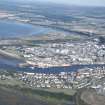
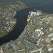
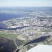
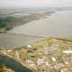
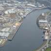
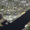
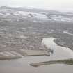
Inverness Harbour, Longman Quay
Quay (Period Unassigned)
Site Name Inverness Harbour, Longman Quay
Classification Quay (Period Unassigned)
Alternative Name(s) River Ness
Canmore ID 280004
Site Number NH64NE 129.12
NGR NH 66159 46680
Datum OSGB36 - NGR
Permalink http://canmore.org.uk/site/280004
- Council Highland
- Parish Inverness And Bona
- Former Region Highland
- Former District Inverness
- Former County Inverness-shire
NH64NE 129.12 66159 46680
Longman Quay [NAT] (at NH 6616 4681)
OS 1:10,000 map, 1992.
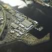
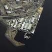
The location assigned to this record defines the centre of the W-facing quay. It apparently extends along the E bank of the River Ness from NH 66068 46821 to NH 66246 46536.
Information from RCAHMS (RJCM), 29 March 2006.
Publication Account (2007)
Inverness Harbour
(Institute Civil Engineers Historic Engineering Works no. HEW 2534)
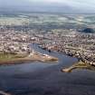
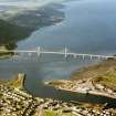
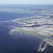
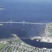
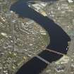
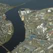
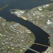
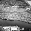
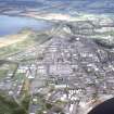
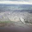
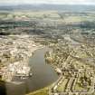
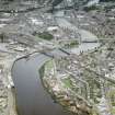
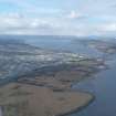
The harbour is located at the sheltered entrance to the Ness chiefly on the east bank of the river and which expanded throughout the 18th, 19th and 20th centuries. Further expansion of the harbour took place in 1985 with the construction opposite Thornbush Quay of the 600 ft long Longman Quay (land reclamation)
R Paxton and J Shipway, 2007.


