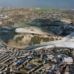
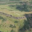
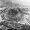
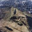
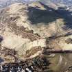
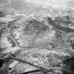
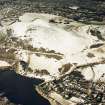
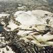
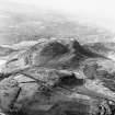
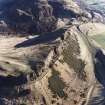
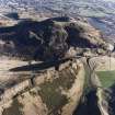
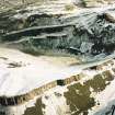
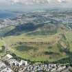
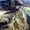
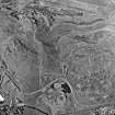
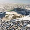
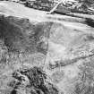
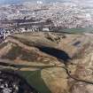
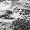
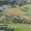
Edinburgh, Holyrood Park, Salisbury Crags
Bank (Earthwork) (Medieval) - (Post Medieval), Fort (Prehistoric)
Site Name Edinburgh, Holyrood Park, Salisbury Crags
Classification Bank (Earthwork) (Medieval) - (Post Medieval), Fort (Prehistoric)
Alternative Name(s) Holyrood Park; Queen's Park
Canmore ID 52425
Site Number NT27SE 38
NGR NT 27009 73262
NGR Description NT 2694 7301 to 2704 7332
Datum OSGB36 - NGR
Permalink http://canmore.org.uk/site/52425
- Council Edinburgh, City Of
- Parish Edinburgh (Edinburgh, City Of)
- Former Region Lothian
- Former District City Of Edinburgh
- Former County Midlothian
NT27SE 38 2694 7301 to 2704 7332
(NT 2694 7301 - NT 2704 7332) Earthwork (NR)
OS 25" map, (1968)
See also NT27SE 3943.
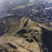
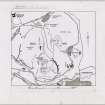
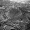
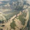
A single terraced line of walling, similar to that of the fort described on NT27SE 93, can be traced along the slopes W of Hunter's Bog, cutting off a large corner of Salisbury Crags ('B' on RCAHMS plan).
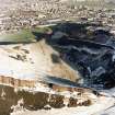
This walling, with some massive revetment blocks, runs for 375 yards, and is surmounted by a stone-faced turf dyke demonstrably contemporary with the largest extent of the Camstone Quarry, which has removed about 160 yards of the wall, after which gap, another portion, about 100 yards long may be seen.
Ritchie (1972) considers that the remains are those of an Iron Age fort c. 25 acres in size, defended on its other sides by the cliffs of Salisbury Crags, while Stevenson (1949) tentatively suggests a Dark Age date for the walling.
Barrow (1959) notes that charters of the period 1128-1147 indicate that part of Arthur's Seat was owned by the canons of Holyrood, and the other part belonged to a certain Uviet, who also possessed a village associated with the crag and called Treverlen; this latter was also an ecclesiastical parish, belonging to the monks of Kelso, and Barrow identifies it with Duddingston. St Anthony's Chapel was on the Duddingston side of the boundary. The division was the subject of a lawsuit between the different monks in the time of King David, and was confirmed in 1159.
(R B K Stevenson 1949; RCAHMS 1951; G W S Barrow 1959; J N G Ritchie and A Ritchie 1972).
This stretch of walling is generally as described in previous information.
Visited by OS (S F S) 8 December 1975.
Publication Account (1951)
Defensive Ramparts, King's Park.
Some remains of a stone-built rampart [NT27SE 93], apparently defensive in character, run along the upper E. slopes of Arthur's Seat above the cultivation terraces ([NT27SE 76] No. 211) and, farther N., cross the best line of approach to the summit (Fig. 429A [DP 149972]). It is some 375yds. long and in parts appears to be double, but it is everywhere very much wasted. Mr. R. B. K. Stevenson, who first described the work (1), tentatively suggests a Dark Age date.
Remains of another rampart [NT27SE 38] (Fig. 429B) can also be traced for 375 yds. along the slopes W. of Hunter's Bog, while what seems to be a detached portion of it, about 100 yds. long over a gap, appears 160 yds. farther N. The Commissioners are indebted to Mr. Stevenson for having drawn their attention to these monuments, and also to [RCAHMS 1951] Nos. 209, 210 and 211.
RCAHMS 1951, visited c.1941
(1)P.S.A.S., lxxxi (1946-7), pp. 165 ff.
OS Map Midlothian iii N.E. (unnoted).
Field Visit (15 December 1998)
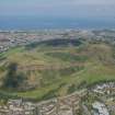
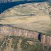
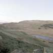
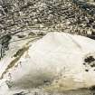
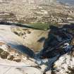
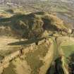
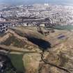
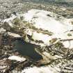
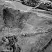
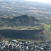
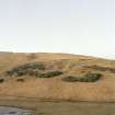
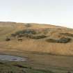
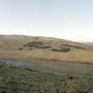
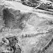
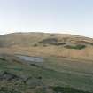
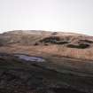
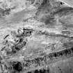
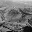
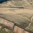
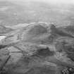
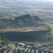
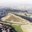
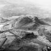
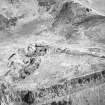
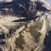
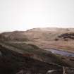
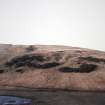
This fort is defended by a single rampart that extends NNE from the cliff-top on the SW side of Salisbury Crags (NT 2695 7301) across the grassy slope as far as Camstone Quarry (NT27SE 3943) at NT 2704 7332. The area enclosed between the rampart and the cliff-edge is D-shaped and some 9.4 hectares in extent. For much of its course, the rampart has been reduced to little more than a terrace 4m broad and up to 0.6m high, but 145m short of its SSW end a series of large boulders lie at the foot of the terrace and may mark the line of the outer face; they coincide with the S end of a 70m-long break in its line. For its entire length, the line of the rampart is followed by a grass-grown stony bank measuring 0.8m in thickness and 0.4 in height, but while the rampart is cut by Camstone Quarry, the bank curves NNW to skirt around the uppermost (W) of the quarry-pits. After a gap of 55m, the bank resumes its course and a short stretch can still be traced between the N end of the quarry (NT 2700 7352) and the cliff-top of the crags. The only structures visible in the interior of the fort belong to the later rifle ranges (NT27SE 3950).
Both the rampart and the bank are depicted at 1:5,550 on an archaeological map of Holyrood Park (RCAHMS 1999), and the bank itself is synonymous with an 'old fence' depicted on the OS 1:1056 map in 1854 (Edinburgh and its environs 1854, sheets 37 and 41).
Visited by RCAHMS (ARG), 15 December 1998.
NMRS, MS/726/96, 39-40, no. 14; RCAHMS 1999.
Note (9 November 2015 - 2 August 2016)
This fort occupies the upper slopes on the eastern flank of Salisbury Crags, where a single rampart has been drawn across the hillside. Capped by a later dyke, the rampart has been reduced to a terrace measuring about 4m in breadth and 0.6m in height along its leading edge, which can be traced over a distance of about 320m from the cliff-edge on the SSW to the edge of the Camstone Quarry on the NNE; the overlying bank turns NNW to skirt the quarry, but the rampart is clearly cut. Its line descends obliquely across the across the contour and presumably rested on the cliff-edge on the N side of the quarry, thus enclosing an area measuring some 560m from N to S by 250m transversely (9.6ha) against the lip of the crags. No entrances are visible and, apart from elements of the later rifle ranges, the interior is featureless.
Information from An Atlas of Hillforts of Great Britain and Ireland – 02 August 2016. Atlas of Hillforts SC3717
Condition Survey (12 March 2018 - 15 April 2018)
The 2018 CFA Archaeology Ltd condition survey found the site as previously described however the height of the bank is reduced to only 0.3m – 0.7m. The bank is crossed by many new paths and has a path running along its length on the northern side.
Information from Graeme Carruthers (CFA Archaeology Ltd) July 2018. OASIS ID: cfaarcha1-317194, no.14


