
Following the launch of trove.scot in February 2025 we are now planning the retiral of some of our webservices. Canmore will be switched off on 24th June 2025. Information about the closure can be found on the HES website: Retiral of HES web services | Historic Environment Scotland
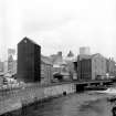
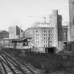
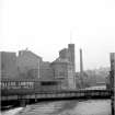
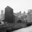
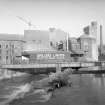
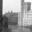
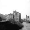
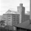
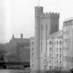
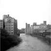
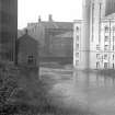
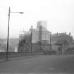
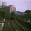
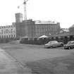
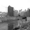
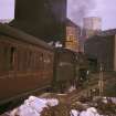
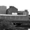
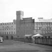
Glasgow, Scotstoun Mill Road, Scotstoun Mills


Watermill (Period Unassigned)
Site Name Glasgow, Scotstoun Mill Road, Scotstoun Mills
Classification Watermill (Period Unassigned)
Canmore ID 150931
Site Number NS56NE 1077
NGR NS 5633 6638
Datum OSGB36 - NGR
Permalink http://canmore.org.uk/site/150931


- Council Glasgow, City Of
- Parish Glasgow (City Of Glasgow)
- Former Region Strathclyde
- Former District City Of Glasgow
- Former County Lanarkshire

