Accessibility

Font Size

100% 150% 200%

Background Colour

Default Contrast
Close Reset

Inverness, Ness Bridge

Road Bridge (20th Century)

Site Name Inverness, Ness Bridge

Classification Road Bridge (20th Century)

Alternative Name(s) Bridge Street; River Ness

Canmore ID 150769

Site Number NH64NE 141.01

NGR NH 66522 45158

Datum OSGB36 - NGR

Permalink http://canmore.org.uk/site/150769

Ordnance Survey licence number AC0000807262. All rights reserved.
Canmore Disclaimer. © Bluesky International Limited 2025. Public Sector Viewing Terms

Toggle Aerial | View on large map

Digital Images

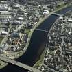
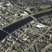
Oblique aerial view.
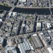
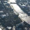
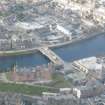
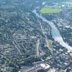
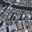
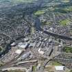
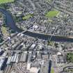
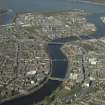
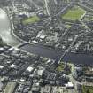
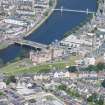
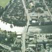
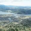
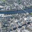
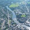
Oblique aerial view.Aerial view of the northern end of central Inverness, looking S.Aerial view of Inverness Castle, looking W.Near aerial view of East Inverness, looking SW.Inverness, Ness Bridge
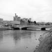
Distant view from NNWInverness, Ness Bridge
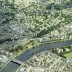
View from NW showing N front and Inverness CastleOblique aerial view.Oblique aerial view.Aerial view of central Inverness, looking SE.Aerial view of Central West Inverness, looking ESE.Inverness, Ness Bridge
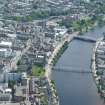
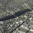
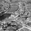
General ViewOblique aerial view.Aerial view of Central Inverness, looking SE.General oblique aerial view of the town centred on the suspension bridges, road bridges and railway viaduct with the castle and prison in the foreground, taken from the SE.Oblique aerial view of the town centred on the suspension bridges, road bridges and churches, taken from the E.Oblique aerial view of the town centred on the suspension bridges, road bridge and churches, taken from the NE.Oblique aerial view.Aerial view of centre of Inverness, looking SW.Aerial view of Inverness burgh and River Ness.Aerial view of central Inverness, looking WSW.Aerial view near View of central Inverness, looking SW.Inverness, Ness Bridge
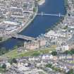
View from NE showing N frontInverness, general view, showing Castle Hill and Church Street.  Oblique aerial photograph taken facing north.  This image has been produced from a print.Oblique aerial view.Aerial view of south side of Inverness, looking SE.Oblique aerial view of the town centred on the suspension bridges, road bridges and churches, taken from the NW.Oblique aerial view of the town centred on the suspension bridges, road bridge and churches, taken from the W.

Administrative Areas

  • Council Highland
  • Parish Inverness And Bona
  • Former Region Highland
  • Former District Inverness
  • Former County Inverness-shire

Archaeology Notes

NH64NE 141.01 66522 45158

Formerly entered as NH64NE 620 at cited location NH 6653 4515.

For (predecessor) Ness Suspension Bridge (NH c. 6653 4515), see NH64NE 141.00.

Ness Bridge [NAT]

OS 1:10,000 map, 1992.

Ness Bridge. Three semi-elliptical spans of pale pink concrete; by Sir Murdoch Macdonald and Partners, 1959-61.

J Gifford 1992.

This bridge carries Bridge Street (which here forms the B861 public road) across the River Ness at the W end of the centre of Inverness.

The location assigned to this record defines the centre of the structure. The available map evidence indicates that it extends from NH c. 66488 45144 to NH c. 66562 45165.

Information from RCAHMS (RJCM), 29 March 2006.

Activities

Publication Account (2007)

In 1939 a contract was let for the building of a masonry faced three-arch reinforced concrete bridge, but work was suspended at the outbreak of war before much progress had been made. It was not until 1959 that Rendel’s bridge was replaced by the present elegant pre-stressed

concrete bridge with a central span of 120 ft, composed of a 60 ft suspended span between two 30 ft cantilevers. The consulting engineers were Sir M. MacDonald & Partners and the contractors, Duncan Logan (Contractors) Ltd, Muir of Ord.

R Paxton and J Shipway, 2007.

Reproduced from 'Civil Engineering heritage: Scotland - Highlands and Islands' with kind permission from Thomas Telford Publishers.

References

MyCanmore Image Contributions


Contribute an Image

MyCanmore Text Contributions