
Loss Burn


Archaeological Landscape (Post Medieval)
Site Name Loss Burn
Classification Archaeological Landscape (Post Medieval)
Canmore ID 144983
Site Number NS89NW 40
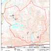
NGR NS 836 990
Datum OSGB36 - NGR
Permalink http://canmore.org.uk/site/144983


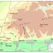

- Council Stirling
- Parish Logie (Stirling)
- Former Region Central
- Former District Stirling
- Former County Stirlingshire
Field Visit (21 May 1997)
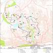
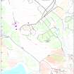
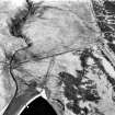
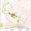
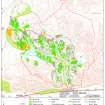
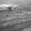
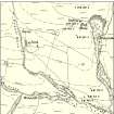
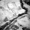
NS89NW 40.00 8367 9900
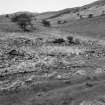
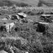
NS89NW 40.01 NS 8367 9900 Farmstead; House
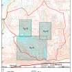
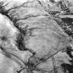
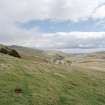
NS89NW 40.02 centred on NS 8347 9898 Park; Rig
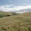
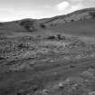
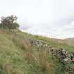
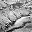
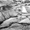
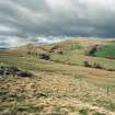
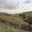
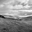
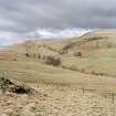
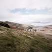
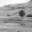
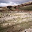
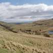
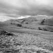
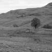
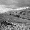
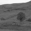
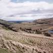
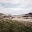
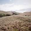
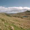
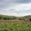
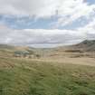
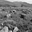
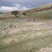
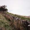
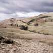
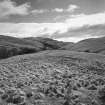
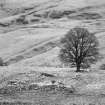
The farmstead, house and park of Loss occupy the ridge between the Crunie and Loss Burns. The lower parts of Loss Hill have been enclosed by a stock-proof dyke and form a discrete area of parkland stocked with mature trees planted in the second half of the 18th century. The farmstead probably originates as a mid 18th century building, referred to as the 'Mansion House' (information from John Harrison), modified into a courtyard steading in the first half of the 19th century. Straight rigs, probably of 19th century date are visible within the area of enclosure.
(MENS97 102-4, 107, 108)
Visited by RCAHMS (DCC) 21 May 1997

