 |
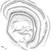
On-line Digital Images |
SC 381983 |
Publication drawing; Plan of The Knowe settlement, Castle O'er. |
1996 |
Item Level |
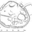 |
On-line Digital Images |
SC 381984 |
Plan of Torthorwald Castle and adjacent buildings and enclosures, redrawn for publication from DC 32299. 12 December 1995, amended 15 April 1996. |
|
Item Level |
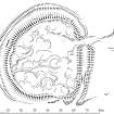 |
On-line Digital Images |
SC 381985 |
Publication drawing; Plan of Tanlawhill settlement. |
1996 |
Item Level |
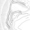 |
On-line Digital Images |
SC 381986 |
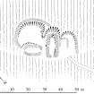
Publication drawing; Over Rig, enclosure. Scanned image of ink drawing. |
2/3/1995 |
Item Level |
 |
On-line Digital Images |
SC 381987 |
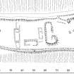
Publication drawing; Plan of Downey Hill farmstead. |
1996 |
Item Level |
 |
On-line Digital Images |
SC 381988 |
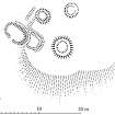
Publication drawing; Plan of Clerkhill (Clerkhill Burn) farmstead. |
1996 |
Item Level |
 |
On-line Digital Images |
SC 381989 |
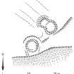
Publication drawing; Site plan of Calf Knowe ring-enclosures. |
15/3/1995 |
Item Level |
 |
On-line Digital Images |
SC 381990 |
Publication drawing; Plan of Rae Burn ring-enclosures. |
15/3/1995 |
Item Level |
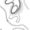 |
On-line Digital Images |
SC 381991 |
Publication drawing; Plan of Jennet's Knowe burnt mound. |
1996 |
Item Level |
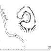 |
On-line Digital Images |
SC 381992 |
Publication drawing; Plan of Blaebeck burnt mound. |
1996 |
Item Level |
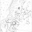 |
On-line Digital Images |
SC 380864 |
Publication drawing; Plan of Stanshiel Rig settlements and field-system: PMT copy of DC 32565. |
30/7/1996 |
Item Level |
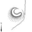 |
On-line Digital Images |
SC 381993 |
Publication drawing; Plan of Broomhillbank burnt mound. |
1996 |
Item Level |
 |
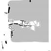
On-line Digital Images |
SC 381994 |
Publication drawing; Plan of Windy Edge chambered long cairn. |
1996 |
Item Level |
 |
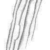
On-line Digital Images |
SC 381995 |
Publication drawing; Detail of chamber of Windy Edge chambered long cairn. |
1996 |
Item Level |
 |
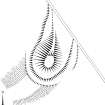
On-line Digital Images |
SC 381996 |
Publication drawing; Plan of (N end of) Neolithic bank barrow at Lamb Knowe (Raeburnfoot). |
10/1/1996 |
Item Level |
 |
On-line Digital Images |
SC 381997 |
Publication drawing; Plan of (S end of) Neolithic bank barrow at Tom's Knowe (Raeburnfoot). |
1996 |
Item Level |
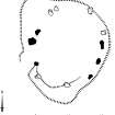 |
On-line Digital Images |
SC 381998 |
Publication drawing; Plan of the Loupin' Stanes stone circle. |
1996 |
Item Level |
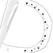 |
On-line Digital Images |
SC 381999 |
Publication drawing; Plan of the Girdlestanes stone circle, indicating edge of river bank. |
19/10/1995 |
Item Level |
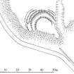 |
On-line Digital Images |
SC 382000 |
Publication drawing; Plan of Cleuch Foot earthwork. |
30/7/1996 |
Item Level |
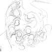 |
On-line Digital Images |
SC 382001 |
Publication drawing; Plan of Cleuchfoot unenclosed settlement. |
13/3/1995 |
Item Level |
 |
On-line Digital Images |
SC 382002 |
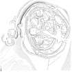
Publication drawing; Plan of palisaded settlement and timber round-houses at Gibb's Hill. |
1996 |
Item Level |
 |
On-line Digital Images |
SC 382003 |
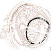
Publication drawing; Phased plan (Phase I) of palisaded settlement at Gibb's Hill. |
1996 |
Item Level |
 |
On-line Digital Images |
SC 382004 |
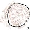
Publication drawing; Phased plan (Phase II) of palisaded settlement at Gibb's Hill. |
1996 |
Item Level |
 |
On-line Digital Images |
SC 382005 |
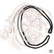
Publication drawing; Phased plan (Phase III) of palisaded settlement at Gibb's Hill. |
1996 |
Item Level |


