
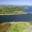
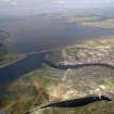
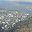
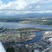
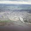
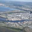
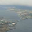
Inverness, Kessock Ferry


Pier (Period Unassigned)
Site Name Inverness, Kessock Ferry
Classification Pier (Period Unassigned)
Alternative Name(s) Beauly Firth
Canmore ID 98528
Site Number NH64NE 539
NGR NH 6553 4725
Datum OSGB36 - NGR
Permalink http://canmore.org.uk/site/98528


- Council Highland
- Parish Inverness And Bona
- Former Region Highland
- Former District Inverness
- Former County Inverness-shire
NH64NE 539 6553 4725
Grid Ref: NH 6553 4725
Source: O/S 1:10,000 Map, 1992.

