Following the launch of trove.scot in February 2025 we are now planning the retiral of some of our webservices. Canmore will be switched off on 24th June 2025. Information about the closure can be found on the HES website: Retiral of HES web services | Historic Environment Scotland
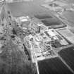
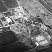
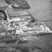
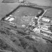
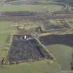
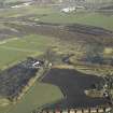
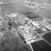
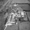
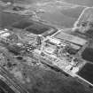
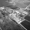
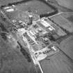
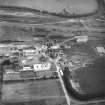
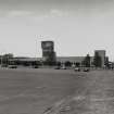
Monktonhall Colliery
Colliery (20th Century)
Site Name Monktonhall Colliery
Classification Colliery (20th Century)
Alternative Name(s) Newton
Canmore ID 72677
Site Number NT37SW 198
NGR NT 321 702
Datum OSGB36 - NGR
Permalink http://canmore.org.uk/site/72677
- Council Midlothian
- Parish Newton
- Former Region Lothian
- Former District Midlothian
- Former County Midlothian
NT37SW 198 321 702
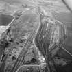
For adjacent Millerhill marshalling yard, see NT37SW 1127.
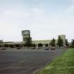
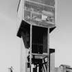
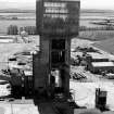
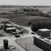
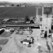
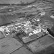
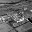
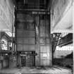
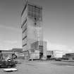
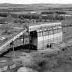
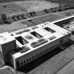
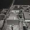
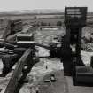
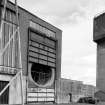
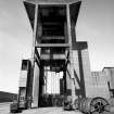
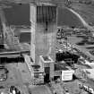
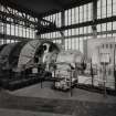
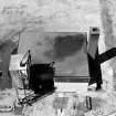
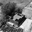
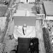
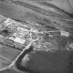
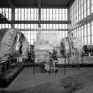
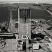
Glazed pit-head tower, 1953, by Egon Riss.
C McWilliam 1978.
(Location cited as NT 3219 7027). MONKTONHALL Colliery
Previous Owners: National Coal Board
Sinking Commenced: 1954
Production Commenced: 1967
Year Closed: 1997
Average Workforce: 1,618
Peak Workforce: 1,786
Peak Year: 1971
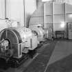
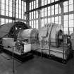
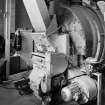
Shaft Details: 2 shafts. No. 1 shaft (upcast) 930m deep, 7.32m diameter and concrete-lined, 2 1,600hp multi-rope tower-mounted friction winders, designed to lift 420 tons of coal per hour in 2 14-ton skips. No. 2 shaft (downcast) also 7.32m diameter, concrete lined, and 920m deep, with 1 multi-rope 1,600hp tower-mounted friction winder with 2-deck cage and counterweight, carrying 2 mine cars (automatic ram loading) or 130 men.
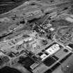
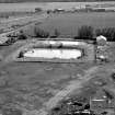
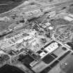
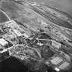
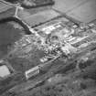
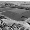
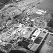
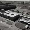
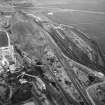
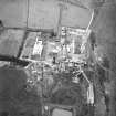
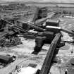
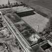
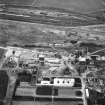
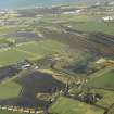
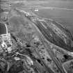
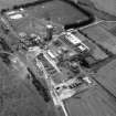
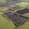
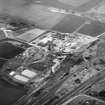
Other Details: Designed to exploit the deep limestone coals of the Midlothian basin, it was one of the wettest pits of the National Coal Board (NCB) era, water causing major problems both during its sinking and its operation. Nevertheless, one of the successful NCB new sinkings and superpits, and the last to survive. Surface facilities included a coal preparation plant, a rapid-loading surface bunker and merry-go-round rail facility, workshops, and administration buildings as well as full baths, canteen and medical facilities. Broke productivity records in 1969. Built with the assured market of Cockenzie Power Station nearby (), but eventually mothballed in 1987, after which neighbouring Bilston Glen (NT26NE 77) closed in 1989. Re-opened as Britain's first large private mine in 1992, but run by a miners' co-operative. First coalface back in production in 1993, but lacked capital and ran into financial difficulties in August 1994, after which Waverley Mining Finance plc took increasing interest in the mine. Closed finally in 1997. First of towers demolished in November 1997, second tower in 1998.
M K Oglethorpe 2006.
Publication Account (1997)
Scotland's most fully realised integrated deep coalmine complex. Located in the Midlothian Coalfield: a last, great survivor from a period of energentic Coal Board investment during the 1960s. From 1955, two shafts were sunk at Monktonhall, both over 3,000 feet deep, and production commenced in January 1965. The mines built in this programme, such Rothes and Killoch, were characterised by monumental concrete winding-engine towers, and concrete and brick surface buildings, all designed by Riss and his staff. They may be compared with postwar mine-building projects in the Ruhr coalfield, often of similarly colossal scale and refinement, but usually faced in brick. (Figs. 4.37, 4.38).
Information from 'Rebuilding Scotland: The Postwar Vision, 1945-75', (1997).
Project (April 2009 - February 2015)
The Borders Railway Project proposals are to reinstate the Newcraighall to Tweedbank section of the former Waverley Line. The reinstated railway line will be approximately 48km long and the majority of the route will use the existing railway embankment.
Several field surveys, archaeological evaluations and standing building surveys were undertaken by CFA Archaeology from April 2009 until February 2015.
CFA Archaeology
Archaeological Evaluation (19 February 2024 - 23 August 2024)
NT 32101 70362 An archaeological evaluation was undertaken. A section of railway track set within a concrete surface as well as remains of a car park and raised planters associated with the late 20th century iteration of the Monktohall Colliery was recorded.
Information from L. Dunbar - AOC Archaeology Group, 2024.
OASIS ID: aocarcha1-523085


