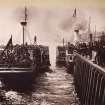
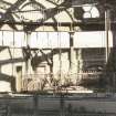
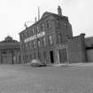
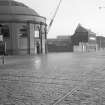
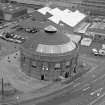
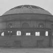
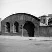
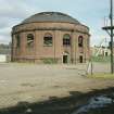
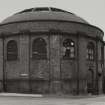
Glasgow, Lower Harbour, Harbour Tunnel, North Rotunda
Building (19th Century), Tunnel (19th Century)
Site Name Glasgow, Lower Harbour, Harbour Tunnel, North Rotunda
Classification Building (19th Century), Tunnel (19th Century)
Alternative Name(s) River Clyde; Glasgow, Harbour Tunnels; Clyde Foot Tunnel; 28 Tunnel Street; Finnieston Quay; Finnieston Tunnel
Canmore ID 44147
Site Number NS56NE 79.01
NGR NS 57188 65167
Datum OSGB36 - NGR
Permalink http://canmore.org.uk/site/44147
- Council Glasgow, City Of
- Parish Glasgow (City Of Glasgow)
- Former Region Strathclyde
- Former District City Of Glasgow
- Former County Lanarkshire
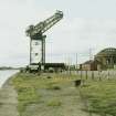
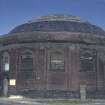
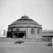
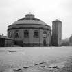
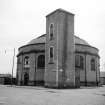
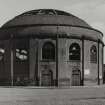
Glasgow Harbour Tunnel Shaft & Rotunda, 1 Plantation Place, 1888, Wilson & Simpson, engineer
One of two domed brick rotundas built over 24m- (80ft-) diameter shafts accessing twin horse-drawn vehicular and one pedestrian tunnel under the Clyde. The South Rotunda, with Corinthian cast-iron columns and slate and glass roof, now awaiting a new use.
Taken from "Greater Glasgow: An Illustrated Architectural Guide", by Sam Small, 2008. Published by the Rutland Press http://www.rias.org.uk
NS56NE 79.01 57188 65167
Previously also entered as NS56NW 134 at incorrect location NS 5420 6635: name cited as Glasgow, Broomielaw, Clyde Foot Tunnel, Finnieston Entrance.
This building is depicted as roofed (but not noted) on the 1974 edition of the OS 1:1250 map.
Information from RCAHMS (RJCM), 6 January 2006.
Field Visit (13 May 2015)
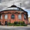
On the date of visit the north rotunda was occupied and used as a bar and restaurant venue called ‘The Rotunda’.
Visited by RCAHMS (AGCH) 13 May 2015.


