Gilchrist
Linear Feature(S) (Period Unassigned), Pit(S) (Period Unassigned), Pit Enclosure (Prehistoric)(Possible)
Site Name Gilchrist
Classification Linear Feature(S) (Period Unassigned), Pit(S) (Period Unassigned), Pit Enclosure (Prehistoric)(Possible)
Canmore ID 262682
Site Number NH54NW 149
NGR NH 5384 4939
Datum OSGB36 - NGR
Permalink http://canmore.org.uk/site/262682
- Council Highland
- Parish Urray (Ross And Cromarty)
- Former Region Highland
- Former District Ross And Cromarty
- Former County Ross And Cromarty
NH54NW 149 5384 4939
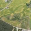
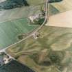
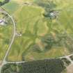
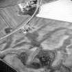
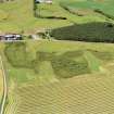
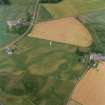
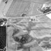
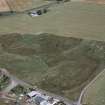
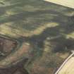
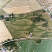
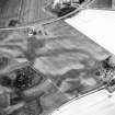
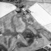
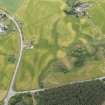
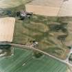
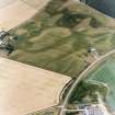
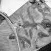
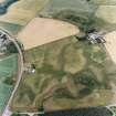
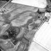
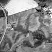
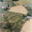
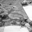
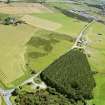
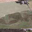
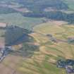
What may be a pit-defined enclosure has been recorded as cropmarks on oblique aerial photography (RCAHMSAP 2000) lying within a scatter of pits and linear cropmarks on level ground about 200m NNW of Gilchrist. The possible enclosure is roughly oval on plan, measuring about 30m WNW-ESE by about 10m, within pits about 2m in diameter. Pits and linear cropmarks, largely oriented roughly NW-SE, surround the enclosure.
Information from RCAHMS (KMM) 15 July 2004.


