Pricing Change
New pricing for orders of material from this site will come into place shortly. Charges for supply of digital images, digitisation on demand, prints and licensing will be altered.
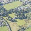
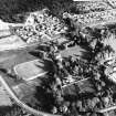
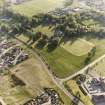
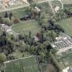
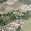
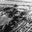
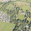
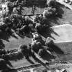
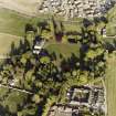
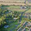
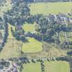
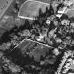
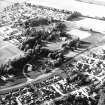
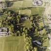
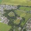
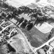
Culloden House, Walled Garden
Walled Garden (Period Unassigned)
Site Name Culloden House, Walled Garden
Classification Walled Garden (Period Unassigned)
Canmore ID 114937
Site Number NH74NW 19.04
NGR NH 71968 46665
NGR Description Centred on NH 71968 46665
Datum OSGB36 - NGR
Permalink http://canmore.org.uk/site/114937
- Council Highland
- Parish Inverness And Bona
- Former Region Highland
- Former District Inverness
- Former County Inverness-shire
Archaeological Evaluation (October 2021 - March 2022)
NH 72350 46640 A programme of archaeological assessment and evaluation was carried out between October 2021 and March 2022, in advance of the developments of the new Culloden Academy, adjacent to the current Culloden Academy. This work was carried out in an area noted to contain a possible enclosure identified in crop marks (Canmore ID: 150426). The new Culloden Academy is to be constructed in an area just outwith the designated battlefield at Culloden, as well as the designed landscape of Culloden House (Canmore ID: 114937).
The works fall into three categories, GI works, visual impact assessment, and trial trenching. No significant archaeological features or material was uncovered during monitoring of the GI Works. Depths of topsoil down to natural were taken and recordings were taken digitally with photographs and measurements.
During the evaluation of the 24 trenches, six revealed possible archaeological features and material. These comprised of six burnt pits, one possible posthole or small pit and a large ditch containing burnt material located in the area that was noted for cropmarks. These features were not confined to one area during the evaluation but were scattered throughout the field. This may indicate that further archaeological material may survive throughout this field. Archive: NRHE and Highland HER (intended)
Funder: Morrison Construction
James McGovern – Highland Archaeology Services
(Source: DES Volume 23)


