
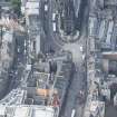
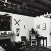
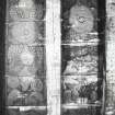
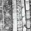
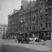
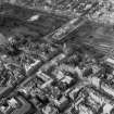
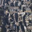
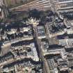
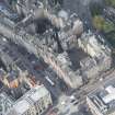
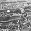
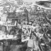
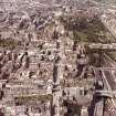
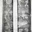
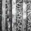
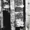
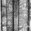
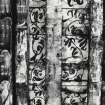
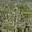
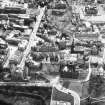
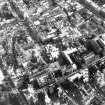
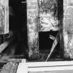
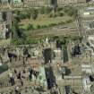
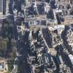
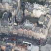
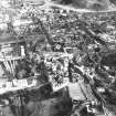
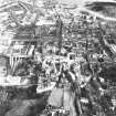
Edinburgh, Lawnmarket, General


General View (Period Unassigned)
Site Name Edinburgh, Lawnmarket, General
Classification General View (Period Unassigned)
Canmore ID 52260
Site Number NT27SE 233
NGR NT 25561 73561
NGR Description Centred NT 2556 7356
Datum OSGB36 - NGR
Permalink http://canmore.org.uk/site/52260


First 100 images shown. See the Collections panel (below) for a link to all digital images.
- Council Edinburgh, City Of
- Parish Edinburgh (Edinburgh, City Of)
- Former Region Lothian
- Former District City Of Edinburgh
- Former County Midlothian
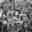
NT27SE 233 centred 2556 7356
SEE ALSO EDINBURGH, UPPER BOW
NMRS REFERENCE:
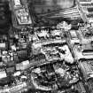
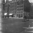
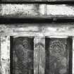
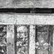
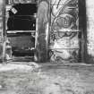
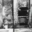
Edinburgh, 290-296 Lawnmarket which was Category B Listed was demolished in March 1967. Information from Demolitions catalogue.
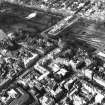
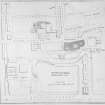
Depicted on the coloured 1st edition of the O.S. 1:1056 scale map (Edinburgh and its Environs, 1854, sheet 35).
A continuation of the High Street between the head of the old West Bow and St Giles Church. Used to be bounded on the East by Tolbooth and on the West by the Weigh House.
EXTERNAL REFERENCE: SCOTTISH RECORD OFFICE
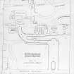
Plan of Closes leading from the Lawnmarket. Fisher's Close, Brodie's Close and Buchanan Court are shown. Unsigned.
N.D. GD/122/Box 27
EXTERNAL REFERENCE: EDINBURGH PUBLIC LIBRARY
Accession 42374-Notes and 2 photographs (circa 1866).
EXTERNAL REFERENCE: NATIONAL LIBRARY OF SCOTLAND
Vol.I, No 45 and Vol II, Nos 11 and 23 of Watercolour Sketches by Thomas Brown, Advocate. Reference "Adv. MSS 34.8.1-3". See under Water Colour Sketches, Series of, By Thomas Brown, Advocate.
(Undated) information in NMRS.

