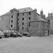
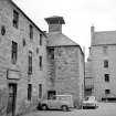
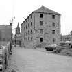
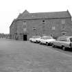
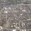
Perth, West Mill Street, Lower City Mills
Granary (19th Century), Watermill(S) (19th Century)
Site Name Perth, West Mill Street, Lower City Mills
Classification Granary (19th Century), Watermill(S) (19th Century)
Canmore ID 28357
Site Number NO12SW 193
NGR NO 11485 23722
Datum OSGB36 - NGR
Permalink http://canmore.org.uk/site/28357
- Council Perth And Kinross
- Parish Perth
- Former Region Tayside
- Former District Perth And Kinross
- Former County Perthshire
NO12SW 193.00 11485 23722 Lower City Mills
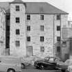
NO12SW 193.01 11478 23755 The Old Granary, wharehouse
NO12SW 193.02 11417 23731 Upper City Mills
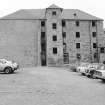
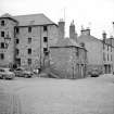
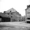
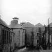
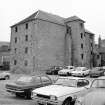
(Location cited as NO 114 237). City Mills. The upper City Mills (pre 1774, 1792) have been converted to a hotel, the two internal low-breast wheels being retained. One measures 2ft (0.61m) in width by 18ft (5.49m) in diameter and the other 5ft (1.52m) in width by 13ft 6ins (4.11m) in diameter. The lower City Mills (1805-8) survive virtually intact, a 3-storey, 3-bay rubble block with an internal low-breast paddle wheel, 12ft 3ins (3.74m) wide by 14ft (4.27m) in diameter, driving three pairs of stone. There is a large pyramidal-roofed kiln.
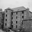
Nearby is an unusual 4-storey rubble granary, with a projecting tower, dated from the mid 18th century.
J R Hume 1977.
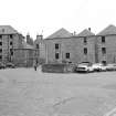
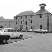
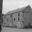
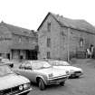
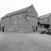
Part of a 3-storey, 4-x 5-bay, mainly rectangular former mill block, oversailing its tailrace and with pyramidal-roofed former kiln with roof vent at SE corner. Rubble with smooth raised margins. Canted SW corner. Regular rectangular openings. South elevation with off-centre, later, 2-leaf timber entrance doors.
This is an important early survival of a former mill from Perth's industrial past which retains much of its internal workings. The footprint of the building remains little altered from the 1st Edition Ordnance Survey Map of 1860 and the building is an important part of the streetscape. This mill acquired its present form after a fire in 1803 but it is likely to contain some earlier fabric, as a mill is depicted on the earlier, 1783 map. It is marked on the 1st Edition Map as a corn mill and a barley mill. It was latterly in use as an oatmeal mill and stopped production in 1953. The building now houses the Tourist Information Centre.
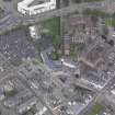
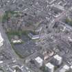
This area was served by the town's lade which brought water from the River Almond. This mill was part of a complex which included an upper mill, a flour mill, a lower mill, an oatmeal mill and a granary and offices. The upper mill is now the Ramada Perth Hotel and the old granary is now flats. The other buildings have been demolished. (Historic Scotland)
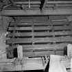
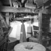
The mill building includes a rare collection of early mill machinery over four floors, which was operational during its last use as a visitor attraction. The mill includes an unusually large mill wheel of 4m wide and 5m diameter which hasn't turned since a reduction of water in the mill lade following the flood prevention works undertaken in Perth. (Perth and Kinross Heritage Trust)
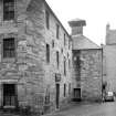
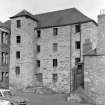
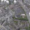
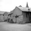
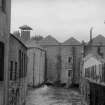
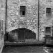
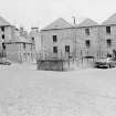
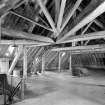
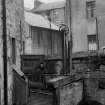
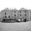
Photographic Survey (September 1963)
Photographic survey by the Scottish National Buildings Record/Ministry of Work in September 1963.


