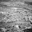
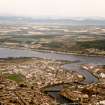
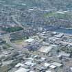
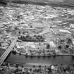
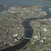
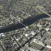
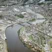
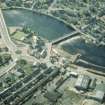
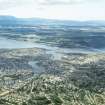
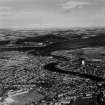
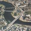
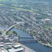
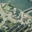
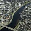
Inverness, Friars' Bridge
Road Bridge (Period Unassigned)
Site Name Inverness, Friars' Bridge
Classification Road Bridge (Period Unassigned)
Alternative Name(s) River Ness; Telford Street; Shore Street
Canmore ID 280009
Site Number NH64NE 768
NGR NH 66186 45682
Datum OSGB36 - NGR
Permalink http://canmore.org.uk/site/280009
- Council Highland
- Parish Inverness And Bona
- Former Region Highland
- Former District Inverness
- Former County Inverness-shire
NH64NE 768 66186 45682
Friars' Bridge [NAT]
OS 1:10,000 map, 1992.
Friars Bridge, Telford St and Shore St. Three-span concrete bridge by JMP Consultants Ltd, 1984-6.
J Gifford 1992.
This bridge carries the A82 public road over the River Ness to the NW of the centre of Inverness. It forms a major element of the 1980's urban road building programme in Inverness.
The location assigned to this record defines the centre of the structure. The available map evidence indicates that it extends from NH c. 66131 45654 to NH c. 66239 45706.
Information from RCAHMS (RJCM), 29 March 2006.


