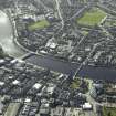
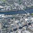
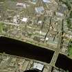
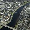
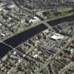
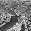
Inverness, Ness Suspension Bridge
Road Bridge (20th Century) (1961), Suspension Bridge (19th Century) - (20th Century) (1855)-(1961)
Site Name Inverness, Ness Suspension Bridge
Classification Road Bridge (20th Century) (1961), Suspension Bridge (19th Century) - (20th Century) (1855)-(1961)
Alternative Name(s) Bridge Street; River Ness
Canmore ID 13359
Site Number NH64NE 141
NGR NH 6653 4515
NGR Description NH c. 6653 4515
Datum OSGB36 - NGR
Permalink http://canmore.org.uk/site/13359
- Council Highland
- Parish Inverness And Bona
- Former Region Highland
- Former District Inverness
- Former County Inverness-shire
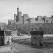
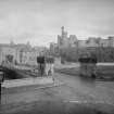
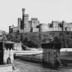
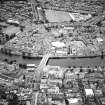
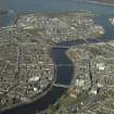
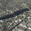
The Ness suspension bridge was built about 1850 to replace a 17th century bridge that had collapsed in 1849. The engineer, J M Rendal, believed that a suspension design was necessary to cross the flood-prone River Ness. It was replaced by a wider three-arched structure in 1961.
Information from RCAHMS (SC) 10 August 2007
Nelson, G 1990
NH64NE 141.00 c. 6653 4515
Location formerly cited as NH 665 451.
For successor and present Ness Bridge, see NH64NE 141.01.
For predecessor bridge, see NH64NE 141.02.
Photographic Record (September 1873)
Photographic Record (1878)
Photographic Record (1891)
Photographic Record (1900)
Publication Account (2007)
Ness Bridge, Inverness
Just upstream of Greig Street Bridge (NH64NE 118) is the site of the town’s historic seven-arch masonry Ness Bridge, built from 1685–89, with a prison vault 12 ft square in the spandrel between the 2nd and 3rd arch at the east end in which a prisoner in 1715 is said to have been eaten by rats. This bridge was swept away in a flood on 25 January 1849, mainly caused by the bursting of the Caledonian Canal bank, and replaced by a 225 ft-span suspension bridge with bar-link chains designed by J. M. Rendel and built from 1852–55, with ironwork supplied and erected by William Armstrong.
R Paxton and J Shipway, 2007.
Reproduced from 'Civil Engineering heritage: Scotland - Highlands and Islands' with kind permission from Thomas Telford Publishers.
Photographic Record


