Little Rogart
Archaeological Landscape (Prehistoric) - (19th Century)
Site Name Little Rogart
Classification Archaeological Landscape (Prehistoric) - (19th Century)
Canmore ID 124399
Site Number NC70SW 106
NGR NC 7323 0341
Datum OSGB36 - NGR
Permalink http://canmore.org.uk/site/124399
- Council Highland
- Parish Rogart
- Former Region Highland
- Former District Sutherland
- Former County Sutherland
Field Visit (6 July 1995)
NC70SW 106.00 7323 0341
NC70SW 106.01 7325 0340 Township; corn-drying kiln (ROG95 849-853,
855-864, 866-868, 870-872, 875, 877, 879,
880-1, 883)
NC70SW 106.02 7328 0372 Farmstead; Field (ROG95 865)
NC70SW 106.03 7321 0377 Hut-circle; Field-system (ROG95 869)
NC70SW 106.04 7329 0349 Hut-circles (ROG95 874, 854, 876, 878)
NC70SW 106.05 7339 0361 Burnt mound (ROG95 873)
NC70SW 106.06 7341 0316 Burnt mound (ROG95 830)
NC70SW 106.07 7313 0328 Dam; Quarry
NC70SW 106.08 7347 0313 Kiln (Possible) (ROG95 848)
NC70SW 106.09 7343 0333 Dam
NC70SW 106.10 7331 0303 Pen (ROG95 882)
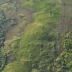
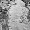
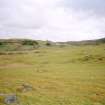
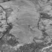
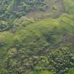
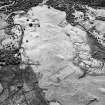
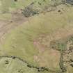
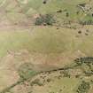
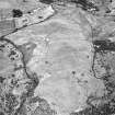
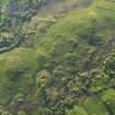
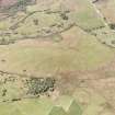
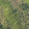
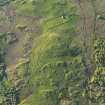
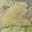
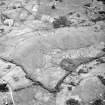
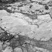
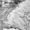
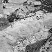
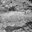
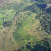
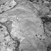
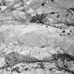
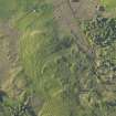
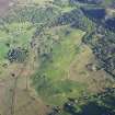
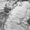
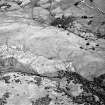
On a low ridge of pasture surrounded by bog on two sides there is a township, a nineteenth century farmstead and field, five hut-circles, a burnt mound, and a field-system.
(ROG95 830, 849-883)
Visited by RCAHMS (PJD) 6 July 1995


