
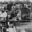
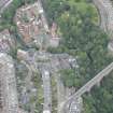
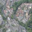
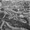
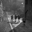
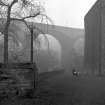
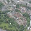
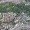
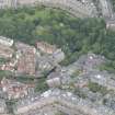
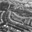
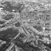
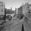
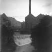
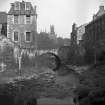
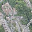
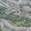
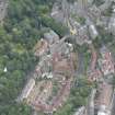
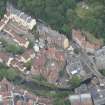
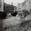
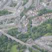
Edinburgh, Dean Village, General


Village (Period Unassigned)
Site Name Edinburgh, Dean Village, General
Classification Village (Period Unassigned)
Canmore ID 119794
Site Number NT27SW 674
NGR NT 2402 7388
NGR Description Centred NT 2402 7388
Datum OSGB36 - NGR
Permalink http://canmore.org.uk/site/119794


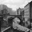
![Scanned image of IGL W399/6/7 [negative number to be supplied].](http://i.rcahms.gov.uk/canmore/l/SC00841591.jpg)


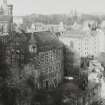
![Scanned image of IGL W399/6/7 [negative number to be supplied].](http://i.rcahms.gov.uk/canmore/s/SC00841591.jpg)


- Council Edinburgh, City Of
- Parish Edinburgh (Edinburgh, City Of)
- Former Region Lothian
- Former District City Of Edinburgh
- Former County Midlothian
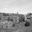
Dean Village has been divided up by street names therefore sites in the Dean Village will also be found under these names: Bell's Brae, Damside, Dean Path, Hawthornbank Lane, Miller Row
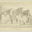
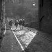
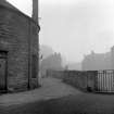
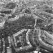
RCAHMS Print Room - Inglis Photograph Collection Acc No 1994/90
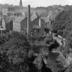
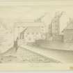
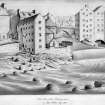
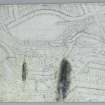
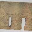
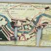
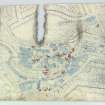
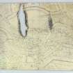
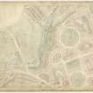
Dean Village, 1829 - general
Pencil sketch insc: 'Village of Water of Leith from window of John Tods office 1829' (John Tod WS listed at 14 Ainslie Place and 7 Great Stuart Street)
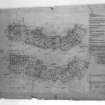
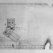
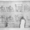
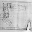
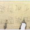
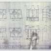
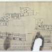
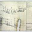
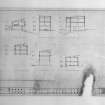
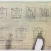
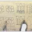
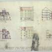
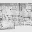
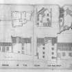
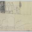
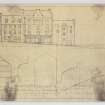
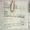
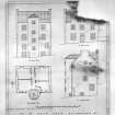
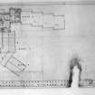
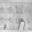
From Architectural Catalogue Slip: The Dean Village, Workers Houses. Photographs, NMR Folio Edinburgh Engravings -
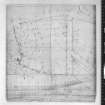
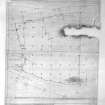
1 sheet drawings and plans
EXTERNAL REFERENCES:
In the National Library of Scotland, Vol. I Nos 67 and 68 of Water Colour Sketches by Thomas Brown, Advocate, are two views in the "Dean".
Reference "Adv. MSS. 34.8.1-3".
See under "Water Colour Sketches, Series of, by Thomas Brown, Advocate".

