Ardlamont House
House (19th Century)
Site Name Ardlamont House
Classification House (19th Century)
Alternative Name(s) Kilfinan, Ardlamont; Airdlamont House
Canmore ID 98691
Site Number NR96NE 16
NGR NR 98098 65712
Datum OSGB36 - NGR
Permalink http://canmore.org.uk/site/98691
- Council Argyll And Bute
- Parish Kilfinan
- Former Region Strathclyde
- Former District Argyll And Bute
- Former County Argyll
NR96NE 16.00 98098 65712
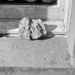
For clay plaque from Newstead complex of Roman sites photographed at Ardlamont House by RCAHMS in 1942, see NT53SE 20.00 (photograph reference RX/2828: filed with Newstead material).
See also:
NR96NE 14 NR 98138 65765 Ardlamont House, Sundial
NR96NE 16.01 Ardlamont Home Farm
NR96NE 16.02 Ardlamont Square
Field Visit (August 1987)
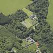
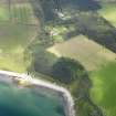
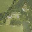
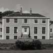
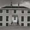
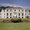
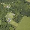
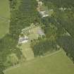
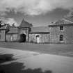
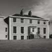
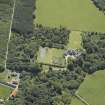
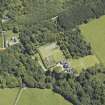
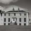
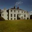
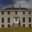
This house stands in wooded policies 400m NNE of Ardlamont Bay, with an extensive view S over ArdlamontPoint to Bute, Arran and Kintyre. The approach as shown on Roy's Map of about 1750 was from the w, by a road from Kilfinan, and a substantial single-arched bridge which spans a stream 200m SW of the house may be of that period, while the gate-piers of a former avenue 200m E of the house are of early 19th-century date. A walled garden 0.64ha in extent lies immediately NE of the house, and a court of offices faces the public road 180m to the NNE.
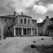
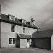
The estate of Ardlamont belonged in the medieval period to a family, first recorded about 1315, who were closely related to the Lamont barons of Inveryne and were succeeded by them in 1554. Following the destruction of Toward Castle (No. 139), Ardlamont became the principal residence of the Lamonts of Lamont from about 1664. 'Lamonts new house, brew house, woman house, together with ane kilne' was assessed for eight hearths in 1693, and window-tax was charged in 1748 for twenty-one windows, rising in 1781 to twenty-eight. The laird at this period, John Lamont, was non-resident, but his heir, Major-General John Lamont, resolved in 1818 to rebuild the house despite inherited debts. Complaining of 'the very contracted and disagreeable accommodations of my present house', he proposed 'to build a house fit for my family on the most limited and frugal plan'. A 'plan and estimate of the improvements that will be requisite' amounted to £1100, and a contract for the supply of lime from Ireland was made early in 1819. The estate became notorious in 1893 for the murder of a potential purchaser in the woods close to the house, and in the same year the house and most of the estate were sold to the Watson family, who continue to occupy it (en.1).
RCAHMS 1992, visited August 1987
[see RCAHMS 1992 No. 150 for a detailed architectural description]
Measured Survey (1 August 1987)
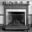
RCAHMS surveyed Ardlamont House on 1 August 1987 producing a south elevation, a plan of the basement of the west range and a moulding profile of the fireplace on the ground-floor at varying scales. These were redrawn in ink and the south elevation was published at a scale of 1:250 (RCAHMS 1992, 311A).
Measured Survey (25 May 1987)
RCAHMS surveyed Ardlamont House on 25 May 1987 producing plans of the first- and ground-floor at a scale of 1:100. The plans were redrawn in ink and published at a scale of 1:250 (RCAHMS 1992, 310).


