Dunragit
Pit Alignment (Prehistoric)(Possible), Pit Defined Cursus (Early Neolithic)
Site Name Dunragit
Classification Pit Alignment (Prehistoric)(Possible), Pit Defined Cursus (Early Neolithic)
Canmore ID 78925
Site Number NX15NW 76.04
NGR NX 14967 57461
NGR Description Centre
Datum OSGB36 - NGR
Permalink http://canmore.org.uk/site/78925
- Council Dumfries And Galloway
- Parish Old Luce
- Former Region Dumfries And Galloway
- Former District Wigtown
- Former County Wigtownshire
NX15NW 76.04 1497 5745
See NX15NW 76.00 and NX15NE 69.00
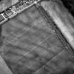
Aerial Photographic Transcription (10 September 1992 - 16 December 1992)
An aerial transcription was produced from oblique aerial photographs. Information from Historic Environment Scotland (BM) 31 March 2017.
Aerial Photographic Interpretation (16 December 2021)
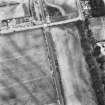
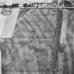
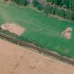
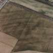
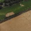
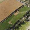
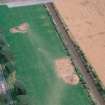
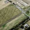
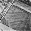
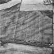
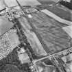
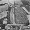
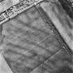
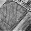
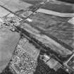
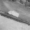
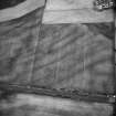
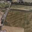
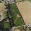
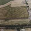
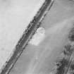
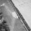
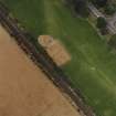
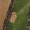
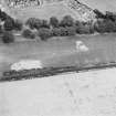
This Early Neolithic cursus monument and possible prehistoric pit alignment have been recorded as cropmarking on oblique aerial photographs (RCAHMSAP 1992) within the Dunragit Late Neolithic timber enclosure (NX15NW 76.1 and 76.2). (Thomas 2015). Only the NE terminal and part of the E side of the cursus, surviving as a curving arc of postholes, have so far been identified. Excavation (Thomas 2015) demonstrated that the postholes become progressively deeper and larger towards the terminal and that the cursus was intersected by the inner ring of the Late Neolithic timber enclosure. What may be a straggling pit alignment or simply a random arrangement of pits extends NE from the cursus for a distance of about 48m.
Information from HES Archaeological Survey (K. Millican) 16 December 2021.
Note (23 August 2022)
The location, classification and period of this site have been reviewed and changed from PIT ALIGNMENT (PREHISTORIC), PIT DEFINED CURSUS (NEOLITHIC).


