Following the launch of trove.scot in February 2025 we are now planning the retiral of some of our webservices. Canmore will be switched off on 24th June 2025. Information about the closure can be found on the HES website: Retiral of HES web services | Historic Environment Scotland
Ben Griam Beg
Enclosure(S) (Period Unassigned), Fort (Period Unassigned), Settlement (Period Unassigned)
Site Name Ben Griam Beg
Classification Enclosure(S) (Period Unassigned), Fort (Period Unassigned), Settlement (Period Unassigned)
Canmore ID 6792
Site Number NC84SW 1
NGR NC 831 411
Datum OSGB36 - NGR
Permalink http://canmore.org.uk/site/6792
- Council Highland
- Parish Farr
- Former Region Highland
- Former District Sutherland
- Former County Sutherland
NC84SW 1 831 411.
(NC 831411) Fort (NR)
OS 6" map, (1962)
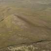
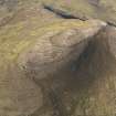
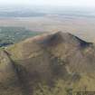
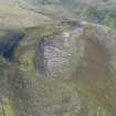
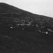
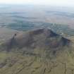
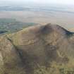
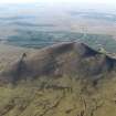
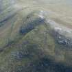
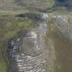
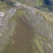
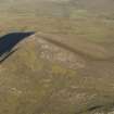
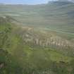
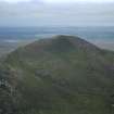
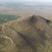
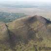
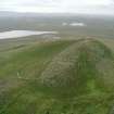
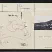
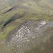
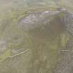
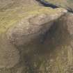
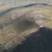
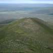
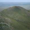
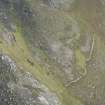
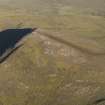
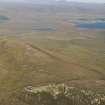
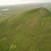
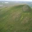
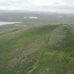
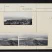
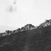
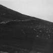
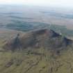
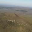
The remains of the highest hill-fort in Scotland crowning the summit of Ben Griam Beg (1903 feet OD). It consists of a roughly oval enceinte 152m by 61m enclosed by a ruinous drystone wall, 1.8m thick and 1m in average height, and flanked at a lower level by enclosures on the west and NE. Some way below the fort on the south the remains of a wall of similar build cross the steep hillside. On either side of this wall there are traces of irregularly shaped enclosures. RCAHMS (1911) noted the remains of a quern, 4 feet in diameter, amid the ruins of this wall. Feachem (1963) implies that the fort is Early Iron Age and suggests that the lower lying walls and enclosures represent an expansion into a much larger defended and occupied area.
RCAHMS 1911, visited 1909; R W Feachem 1963; Visited by OS (J L D) 12 May 1960; Visible on RAF air photographs 106G/Scot/UK 76: 3355-7.
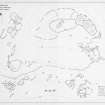
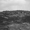
The fort, as described and illustrated, occupies the flattish summit of the hill. Its wall is crudely constructed of slabs, and is of unusually slender proportions, though the steep rock-strewn hill slopes afford a good natural defence. The enclosures abutting on the west and north-east sides, and the crude wall extending southwards from the south-east corner before turning to the west, are of similar construction to the fort, except that the wall of the north-east enclosure is more slight. These appendages to the fort do not appear to be outer defences; they do not utilise any natural defence that may exist.
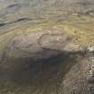
The several small, irregularly-shaped enclosures at NC 828 409 are visible as platforms set into the slope on average 12.0m across, with their lower edge retained by bands of stone. The interiors are noticeably clear of stones compared to the surrounding rocky ground. In no way do they resemble hut circles. There are other enclosures of similar type; those at NC 831 409 being largely obscured by scree, and others at NC 828 410 occurring on more level ground.
The fort and complex of walls and enclosures below it appear contemporary. The extreme remote and exposed situation of the complex probably indicates a temporary refuge or man and beast under threat of attack, rather than a permanent settlement.
Visited by OS (N K B) 29 April 1977.
Surveyed by R Mercer leading a team from University of Edinburgh Department of Archaeology in July 1987.
R Mercer 1988c.
Note (4 February 2015 - 7 November 2016)
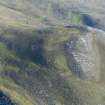
The fortifications on Ben Griam Beg are remarkable for several reasons, amongst them being that at 580m OD they are the highest of any in Scotland, and are indeed amongst the most remote. The principle enclosure that can be seen extends from the foot of the summit boss westwards along the ridge enclosing an oval area measuring about 140m from E to W by 60m transversely (0.67ha) within a wall typically about 1.5m in thickness, but in places up to 2.5m. Eastwards the wall peters out on the edge of the rocky margin of the hill's SE spur, and though there is one short length of wall blocking a gully on the SW flank, and another on the crest 50m SE of the OS triangulation station, it is unclear to what extent this area was taken into the circuit; if these walls form elements of the circuit the overall area of this inner enclosure might have extended to as much as 1ha, while to the edge of the crags on the SE is an additional 0.11ha. Parts of the interior are covered in peat, while across large areas it is bare rock or strewn with stones, but midway along the S side there is at least one possible hut-circle. At least three entrances can be seen, two in the N side and one towards the E end of the S side, while a second gap in this side a little further to the W is thought to be more recent. In addition to this enclosure there are at least two annexes apparently springing from its perimeter on the N (0.3ha) and W (0.95ha), though their perimeters are constructed on a much slighter scale and there is no reason to regard them as part of a defensive scheme. Extending across the S flank of the hill for a distance of about 500m, however, between 90m and 120m lower down the slope, there is another monumental wall built with huge slabs and still standing up to 2m high. Its W end rests close to the rib of outcrop forming the crag known as Creag an Iolaire (the Eagle's Crag), while to the E it peters out amongst a cluster of small enclosures close to the lip of the steep and rocky E flank of the hill; its line is broken by numerous gaps that appear to be original. The cluster of enclosures noted at its E end is one of several around the S and and W flanks of the hill which seem to be made up of small plots or pounds, clearance heaps and possible hut-circles; elements of those on the S appear to have been cleared to build the huge wall across this flank.
Information from An Atlas of Hillforts of Great Britain and Ireland – 07 November 2016. Atlas of Hillforts SC2787


