
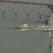
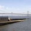
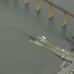
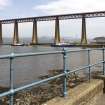
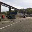
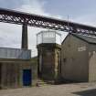
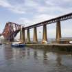
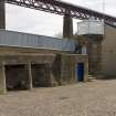
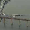
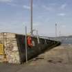
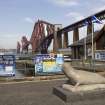
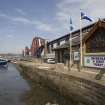
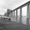
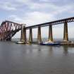
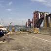
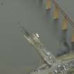
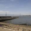
South Queensferry, Hawes Pier


Pier (19th Century), Slipway (19th Century)
Site Name South Queensferry, Hawes Pier
Classification Pier (19th Century), Slipway (19th Century)
Alternative Name(s) South Queensferry, Old Ferry Pier; Ferry Slip; Newhalls Road; Inner Forth Estuary; Upper Firth Of Forth; Queensferry Narrows
Canmore ID 50550
Site Number NT17NW 172
NGR NT 13633 78497
Datum OSGB36 - NGR
Permalink http://canmore.org.uk/site/50550


- Council Edinburgh, City Of
- Parish Dalmeny
- Former Region Lothian
- Former District City Of Edinburgh
- Former County West Lothian

