Pricing Change
New pricing for orders of material from this site will come into place shortly. Charges for supply of digital images, digitisation on demand, prints and licensing will be altered.
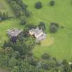
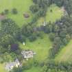
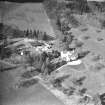
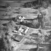
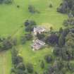
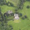
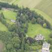
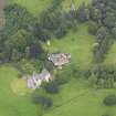
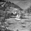
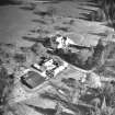
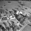
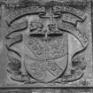
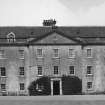
Gargunnock House
Country House (16th Century)
Site Name Gargunnock House
Classification Country House (16th Century)
Alternative Name(s) Gargunnock Estate
Canmore ID 46292
Site Number NS79SW 2
NGR NS 71555 94503
Datum OSGB36 - NGR
Permalink http://canmore.org.uk/site/46292
- Council Stirling
- Parish Gargunnock
- Former Region Central
- Former District Stirling
- Former County Stirlingshire
NS79SW 2.00 71555 94503 Gargunnock House
(NS 7155 9450) Gargunnock House (NAT)
OS 6" map (1958)
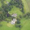
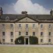
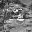
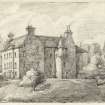
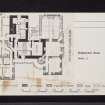
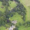
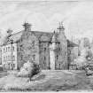
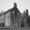
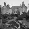
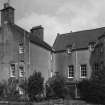
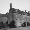
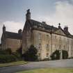
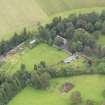
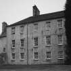
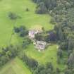
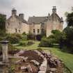
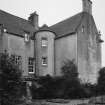
Gargunnock House is now a composite structure incorporating the work of many periods. The earliest building of which any part still remains was as approximately L-shaped tower-house; this was probably erected by a Seton of Gargunnock at about the end of the 16th century, and comprises a main block which runs approximately N-S, with an E wing at its N end. During the 17th century, a W wing was added to the S gable end of the main block, making the house roughly Z-shaped on plan. Sir James Campbell, 3rd of Glentirran, was responsible for many alterations and improvements to the property, among them the addition of a W wing to the N gable-end of the main block and the removal of an old barmkin wall and gateway (OSA 1796). The 17th century wing is three storeys and an attic in height. A turnpike stair rose in the re-entrant angle, but the present stair, in the same position, is an 18th century renewal. The mid-18th century wing is a plain rectangular block three storeys in height. The S facade of 1794, in Classical style, incorporates the S front of the 17th century wing. The building rises to a height of three storeys and an attic.
A stone sundial, dated 1731, stands about 50 yds W of the house.
RCAHMS 1963, visited 1956
Gargunnock House, inhabited, is as described; it has a comparatively modern appearance.
Visited by OS (RD) 20 September 1968
NS79SW 2.00 71555 94503 Gargunnock House
NS79SW 2.01 71491 94524 Stables
NS79SW 2.02 71453 94508 Dovecot
NS79SW 2.03 71525 94489 Sundial
NS79SW 2.04 71479 94492 Walled Garden
NS79SW 2.05 71868 94303 East Lodge and Gates
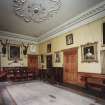
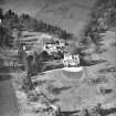
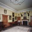
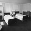
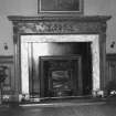
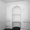
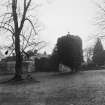
Photographic Survey (1954)
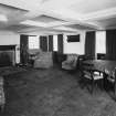
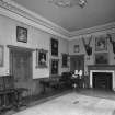
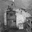
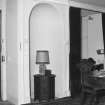
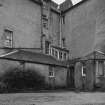
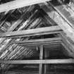
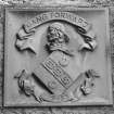
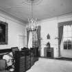
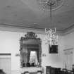
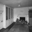
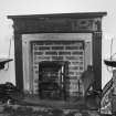
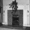
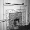
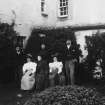
Photographic survey by the Scottish National Buildings Record in 1954.
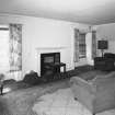
Photographic Survey (1956)
Photographic survey by the Scottish National Buildings Record in 1956.
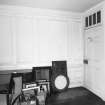
Photographic Survey (1956)
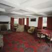
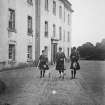
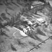
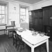
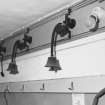
Photographic survey by the Ministry of Works around 1956.
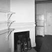
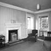
Photographic Survey (1956)
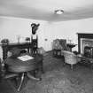
Photographs by the Scottish National Buildings Record in 1956.


