Scheduled Maintenance
Please be advised that this website will undergo scheduled maintenance on the following dates: •
Tuesday 3rd December 11:00-15:00
During these times, some services may be temporarily unavailable. We apologise for any inconvenience this may cause.
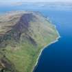
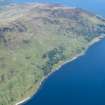
Arran, Cock Of Arran
Coal Mining Site (18th Century), Colliery(S) (18th Century), Custom House (18th Century)(Possible), Kiln (18th Century), Salt Works (18th Century)
Site Name Arran, Cock Of Arran
Classification Coal Mining Site (18th Century), Colliery(S) (18th Century), Custom House (18th Century)(Possible), Kiln (18th Century), Salt Works (18th Century)
Alternative Name(s) Cuithe
Canmore ID 39803
Site Number NR95SE 1
NGR NR 97067 51204
Datum OSGB36 - NGR
Permalink http://canmore.org.uk/site/39803
- Council North Ayrshire
- Parish Kilmory
- Former Region Strathclyde
- Former District Cunninghame
- Former County Buteshire
NR95SE 1 centred 97067 51204
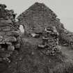
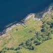
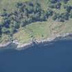
Salt Pans: two ruinous buildings formerly used for making salt. Coal was also worked here to aid in the manufacture.
Name Book 1864.
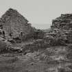
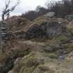
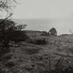
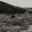
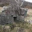
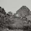
(Location cited as NR 94 51). Salt pan, Cock of Arran, 18th century. The ruins of a small rubble building, with [a] semicircular end. Built to use a low-grade local coal, which was quickly exhausted.
Source: J R Hume 1977.
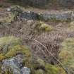
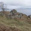
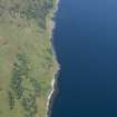
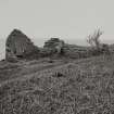
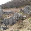
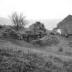
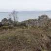
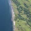
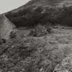
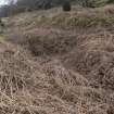
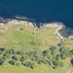
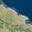
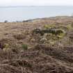
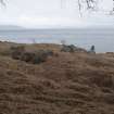
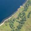
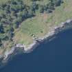
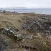
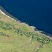
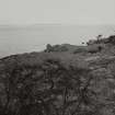
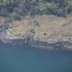
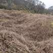
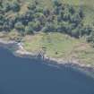
The remains of two rectangular buildings are situated on level ground near the shore; there are also two water-filled holes nearby, probably mine shafts, and the area shows signs of disturbance associated with the workings.
Visited by OS, December 1977
Field Visit (1979)
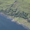
Coal was discovered and wrought at this remote site on the NE coast of Arran in the early 18th century, and salt was manufactured here intermittently between 1710 and 1735 (Whatley 1982). Some of the workmen were imported from Bo’ness on the River Forth, where the Hamilton family, co-owners of Arran, possessed major coal and salt undertakings. Coal was again temporarily worked at the Cock of Arran in the 1770s, and although the possibility of reopening the salt pan was considered, there is no evidence of any manufacture of salt in that period. The site has thus lain comparatively undeveloped, and the roofless and ruinous buildings here probably constitute the earliest and most complete surviving remains of a Scottish salt-work. It is probably a typical small-scale version of the numerous contemporary establishments around the River Forth, the principal centre of the marine salt industry in Scotland.
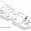
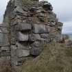
The semicircular-ended building (A) is the pan-house or boiling-house which occupies a shore-side position for a convenient regular supply of sea-water. The interior of the building measures 26ft 3in (8.00m) by 23ft (7.01m) and retains the vaulted furnace-area and stone piers on which the pan was mounted. According to contemporary accounts, a Scottish pan was usually made of iron plates and measured 18ft (5.49m) in length by 9ft (2.74m) in width and 1dt 6in (0.46m) in depth (Smout 1978, 41; St Fond cited Duckham 1970, 318). The furnace was stoked and emptied in the adjacent fore-house (B) which, on the upper floor, may also have had a bothy for the salters. The near bicameral building (C) is a storehouse or girnal known to have been built in 1712, and the two ranges marked (D) appear to be the remains of workers’, probably colliers’, dwellings. Sunken areas (E) and (F) represent the flooded mouths of some of the coal-pits, and it has been plausibly suggested that building (G) may have accommodated salt Excise officers (Whatley 1982, 97).
RCAHMS 1986, 163-4 (Visited 1979)
Note (22 December 1998)
Two unroofed buildings, two unroofed structures, one of which is annotated 'Maltkiln' and two, possibly three coal pits are depicted on the 1st edition of the OS 6-inch map (Buteshire 1869, sheet ccvi) . Five unroofed buildings, two unroofed structures annotated 'Shaft (dis)', and one enclosure are shown on the current edition of the OS 1:10000 map (1979).
Information from RCAHMS (AKK), 22 December 1998.
Note (29 June 2018)
The location, classification and period of this site have been reviewed.
HES Survey and Recording 29 June 2018


