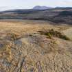
Arran, Machrie Moor
Standing Stone (Prehistoric)
Site Name Arran, Machrie Moor
Classification Standing Stone (Prehistoric)
Canmore ID 39715
Site Number NR93SW 2
NGR NR 90641 32538
Datum OSGB36 - NGR
Permalink http://canmore.org.uk/site/39715
- Council North Ayrshire
- Parish Kilmory
- Former Region Strathclyde
- Former District Cunninghame
- Former County Buteshire
NR93SW 2 9063 3253.
(NR 9064 3253) Standing Stone (NR)
OS 6" map, Buteshire,(1924)
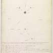
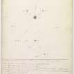
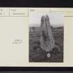
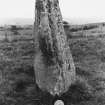
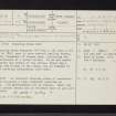
This standing stone measures 5ft 4ins x 1ft 2ins x 1ft 4ins. In 1861, near it were several smaller stones, apparently fragments of larger ones, indicating the former existence of a stone circle. As he was unable to determine the centre of the circle, Bryce dug a trench at the W base of the stone, but no remains or signs of previous disturbance were seen.
Information from OS (IF) 3 April 1973.
Sources: J Bryce 1863; J Balfour 1910
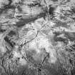
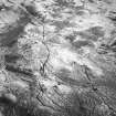
NR 90633253 An isolated standing stone of weathered sandstone occupies a high prominent position on moorland. Its measurements are as stated. There are no other stones nearby and no evidence that it was part of a circle.
Surveyed at 1:10 000.
Visited by OS (JRL) 16 September 1977
Note (23 July 2018 - 24 July 2018)
The location, classification and period of this site have been reviewed.
HES Survey and Recording 23-24 July 2018.


