
Arran, Tormore


Cairnfield (Prehistoric), Field System (Prehistoric), Hut Circle (Prehistoric)
Site Name Arran, Tormore
Classification Cairnfield (Prehistoric), Field System (Prehistoric), Hut Circle (Prehistoric)
Canmore ID 39246
Site Number NR83SE 26
NGR NR 8908 3026
Datum OSGB36 - NGR
Permalink http://canmore.org.uk/site/39246


- Council North Ayrshire
- Parish Kilmory
- Former Region Strathclyde
- Former District Cunninghame
- Former County Buteshire
NR83SE 26 8908 3026
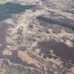
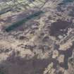
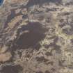
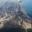
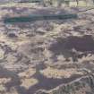
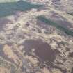
NR 8908 3026. A heather-covered hut circle was found during field investigation situated on gently sloping moorland at approximately 300ft OD. The earth and stone bank, spread to 3.0m and up to 0.8m high, encloses a level interior 5.5m in diameter. There is a 1.0m wide entrance in the sout-east with a single orthostat on its east side.
Surveyed at 1:10 000.
Approximately 100.0m south of the hut circle is an 80.0m long bank. Comprising earth and large stones, it is 2.0m wide and 0.4m high and is probably a field bank associated with the hut.
Lying between the hut circle and the bank is a group of 15 heather-covered stony mounds similar to other probable clearance heaps in this area (see NR83SE 11).
Visited by OS (TRG), 20 October 1977.
Note (27 November 2018)
The location, classification and period of this site have been reviewed.
HES Survey and Recording 27 November 2018

