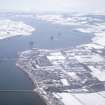
Invergordon, Royal Naval Dockyard, Central Pier
Pier (First World War), Pier (19th Century) - (20th Century)
Site Name Invergordon, Royal Naval Dockyard, Central Pier
Classification Pier (First World War), Pier (19th Century) - (20th Century)
Canmore ID 331980
Site Number NH76NW 64.05
NGR NH 70877 68311
Datum OSGB36 - NGR
Permalink http://canmore.org.uk/site/331980
- Council Highland
- Parish Rosskeen
- Former Region Highland
- Former District Ross And Cromarty
- Former County Ross And Cromarty
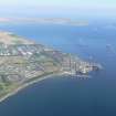
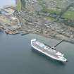
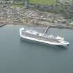
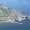
The central pier of the naval base strikes out SSE from the shore for a distance of about 130m, with two eastward extensions over 100m long. Most of the pier is served by a railway. A building on the pier contained a transport office, Navy picket house, oficers waiting room and C.O. offices.
Information from HS/RCAHMS World War One Audit Project (GJB) 2 August 2013.
Project (March 2013 - September 2013)
A project to characterise the quantity and quality of the Scottish resource of known surviving remains of the First World War. Carried out in partnership between Historic Scotland and RCAHMS.


