Pricing Change
New pricing for orders of material from this site will come into place shortly. Charges for supply of digital images, digitisation on demand, prints and licensing will be altered.
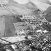
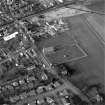
Coupar Angus, Queen Street, Abbey Church
Abbey (12th Century), Architectural Fragment(S) (Medieval), Church (19th Century), Gatehouse (Medieval), Gravestone(S) (Period Unknown), War Memorial (20th Century), Effigy (Medieval)
Site Name Coupar Angus, Queen Street, Abbey Church
Classification Abbey (12th Century), Architectural Fragment(S) (Medieval), Church (19th Century), Gatehouse (Medieval), Gravestone(S) (Period Unknown), War Memorial (20th Century), Effigy (Medieval)
Alternative Name(s) Coupar Angus Church; Parish Church Of Coupar Angus; Coupar Angus Abbey; War Memorial; Cistercian Abbet, Remains Of, Queen Street
Canmore ID 30556
Site Number NO23NW 13
NGR NO 22327 39802
Datum OSGB36 - NGR
Permalink http://canmore.org.uk/site/30556
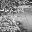
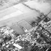
First 100 images shown. See the Collections panel (below) for a link to all digital images.
- Council Perth And Kinross
- Parish Coupar Angus
- Former Region Tayside
- Former District Perth And Kinross
- Former County Perthshire
NO23NW 13.00 223 398.
For long cist found at the abbey, see NO23NW 14. For small finds from adjacent farm of Meadowside, see NO23NW 67. For former Coupar Angus church (now Bendochy parish church, at NO 2184 4145), see NO24SW 1.00.
NO23NW 13.01 NO 2230 3979 Coffins
NO23NW 13.02 NO 223 398 Archaeological Survey; Burial-ground ('Glebe Field')
NO23NW 13.03 NO 224 397 Pottery; Midden; Flint Scraper
NO23NW 13.04 NO 2248 3968 Linear Cropmark
NO23NW 13.06 NO 22323969 Manse
(NO 2234 3972) Abbey (NR) (Cistercian)
(NO 2233 3980) Church (NAT)
OS 6" map (1959)
For architectural fragments said to have come from Coupar Angus Abbey and now in the burial-ground at Kettins parish church (NO 2379 3904), see NO23NW 6. For architectural fragments built into Old Bridge of Dean (at NO 2878 4587), see NO24NE 13.01. For architectural fragments built into Easter Bendochy farmsteading (at NO 2215 4198), see NO24SW 67. For funereal slab and dressed and moulded stones probably from Coupar Angus Abbey and incorporated into Arthurstone House (NO 2620 4314) and dovecot, see NO24SE 69.05 and NO24SE 69.06 . For possibly-attached chapels at Ross (NO c. 210 220) and Polcalk (NO c. 247 213), see NO22SW 46 and NO22SW 47 respectively.
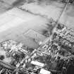
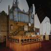
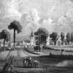
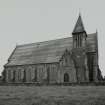
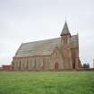
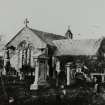
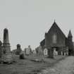
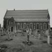
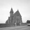
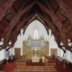
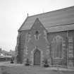
The Cistercian abbey of Coupar was founded in 1161 or 1162 (I B Cowan letter to Easson, 1964). The church was dedicated 15 May 1233 (D E Easson 1957). The last abbot was imposed upon the abbey in 1529 and by 1607 the last of the monks had died (W Cochrane 1964). The church had a minister in 1611 but in 1622 the walls were in ruins. The rebuilt church was dedicated in 1686: work on a new church was started in 1859. All that remains of the abbey is a fragment of the gatehouse.
S H Cruden 1960; D MacGibbon and T Ross 1897
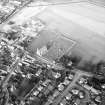
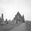
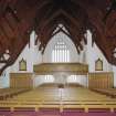
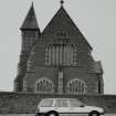
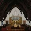
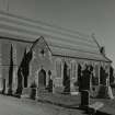
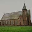
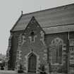
The remains of the abbey are as described above. The present church, known as Abbey Church, was built in 1859 and was superimposed upon the foundations of the original abbey church which was result in 1686 (W Cochrane, Abbey Church Manse, Coupar Angus).
Visited by OS (RD) 9 February 1969
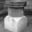
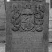
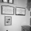
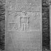
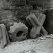
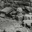
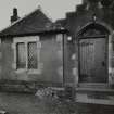
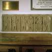
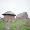
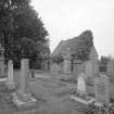
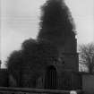
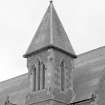
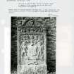
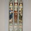
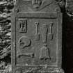
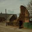
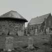
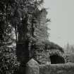
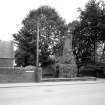
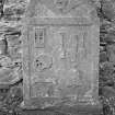
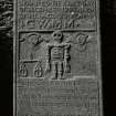
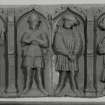
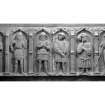
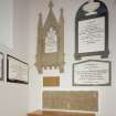
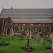
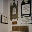
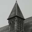
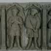
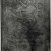
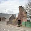
All that remains visible of the Cistercian abbey of Coupar Angus is a ruinous gateway at the SW corner of the modern burial-ground adjoining the 19th-century parish church; the latter building stands upon the site of its predecessor, built in 1681, and may occupy the site of the abbey church. Within and around the parish church there are a number of architectural fragments of 13th- to 16th-century date and several carved stones, notably the grave-slab of Abbot John Shanwell (d.1506), the effigy of a knight, and the side panels of a tomb-chest with weepers comprising two knights, a man-at-arms, two figures in civilian dress and a sixth figure bearing an axe.
In the late 18th century 'digging at the west end of the church' revealed over twelve stone coffins (NO23NW 13.01) whilst in 1887 two more stone coffins and a possible long cist were found in the burial-ground (NO23NW 14). Although monks from Melrose were established at Coupar before September 1162 and the full convent arrived in 1164, it was not until 1173 x 78 that William I granted a half ploughgate for the site of the abbey. There appears to have been a pre-existing parish church, the Bishop of St Andrews surrendering his rights in this church, but its site is not known.
Information from RCAHMS (JRS) 26 January 1993.
NMRS REFERENCE
Architect: John Carver 1859-60
Photographic Survey (1987)
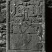
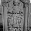
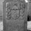
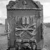
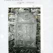
Recording of gravestones in the churchyard of Coupar Angus Abbey Church by Mrs Betty Willsher in 1987.
Publication Account (1997)
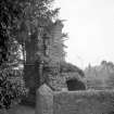
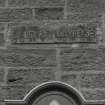
Little of this historic religious house now remains. To the south of the present parish church, on the Dundee road, arc the ruins of what is thought to have been part or one of the entrances or gateways Into the precinct. This red sandstone, round, barrel-vaulted pend arch is the sole hint of the Splendour of the medieval Cistcrcian house figure 23. From the late sixteenth century, the abbey buildings proved a useful quarry; throughout the town many standing buildings offer evidence of being built from abbey stone.
Information from ‘Historic Coupar Angus: The Archaeological Implications of Development’ (1997).
Watching Brief (13 November 2012 - 28 January 2013)
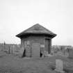
Alder Archaeology carried out a watching brief on the formation of new paths giving access to the ruins of Coupar Angus Abbey gatehouse from Queen Street and from Coupar Angus churchyard. The work also entailed insertion of drains for the recently restored Simprim Mausoleum, and the excavation of a posthole for an information panel, and was commissioned by the Historic Churchyards Project, Perth and Kinross Heritage Trust. It was carried out in November 2012 and January 2013, and given the site code CG07.
In the event, excavation was shallower than expected, because the removal of turf and topsoil generally exposed layers of gravel or sandstone rubble firm enough to serve as a sub-base for the paths, without deeper excavation. The layers seemed to be modern or related to the development and maintenance of the churchyard and the surroundings of the ruins. Only the information panel posthole went deep enough to penetrate these layers and expose a deposit of sandstone and mortar fragments possibly associated with the demolition and decay of the abbey.
The earliest find from the site was a steel coffin handle, of 19th or 20th-century date.
Information from Oasis (alderarc1-150917) 28 August 2013


