Following the launch of trove.scot in February 2025 we are now planning the retiral of some of our webservices. Canmore will be switched off on 24th June 2025. Information about the closure can be found on the HES website: Retiral of HES web services | Historic Environment Scotland
Dalginross
Quarry Pit(S) (Roman), Temporary Camp (Roman)
Site Name Dalginross
Classification Quarry Pit(S) (Roman), Temporary Camp (Roman)
Alternative Name(s) Penfillan
Canmore ID 24821
Site Number NN72SE 1
NGR NN 7742 2078
NGR Description Centred NN 7742 2078
Datum OSGB36 - NGR
Permalink http://canmore.org.uk/site/24821
First 100 images shown. See the Collections panel (below) for a link to all digital images.
- Council Perth And Kinross
- Parish Comrie (Perth And Kinross)
- Former Region Tayside
- Former District Perth And Kinross
- Former County Perthshire
NN72SE 1 centred 7742 2078
(NN 774 207) Site of Roman Camp (NR) (Supposed of the 9th Legion)
OS 6" map (1901).
For Roman fort (centred NN 7732 2104), see NN72SE 2.
For stone setting at West Cowden Farm (NN 7744 2064), see NN72SE 5.
For Roman temporary camp (centred NN 7735 2096), see NN72SE 21.
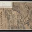
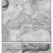
A temporary camp c.1020' long and 950' broad. A great part of the entrenchment and the four gates remained in Roy's time and were planned by him.
W Roy 1793
Roman marching-camp of which there are faint traces on the ground.
O G S Crawford 1949
There is no ground evidence of this camp.
Plotted with the aid of St Joseph APs and Roy's plan.
Visited by OS (RD) 5 December 1966
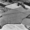
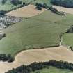
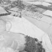
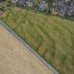
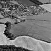
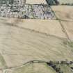
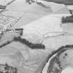
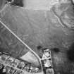
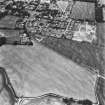
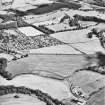
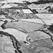
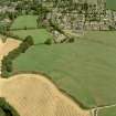
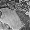
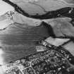
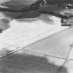
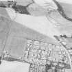
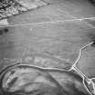
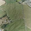
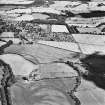
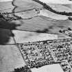
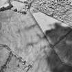
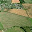
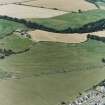
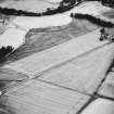
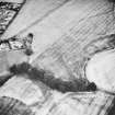
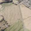
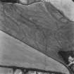
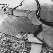
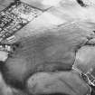
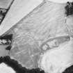
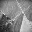
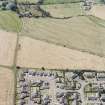
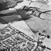
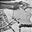
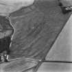
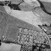
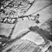
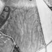
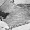
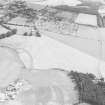
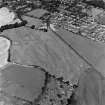
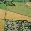
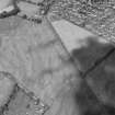
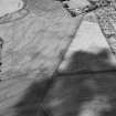
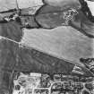
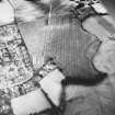
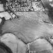
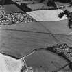
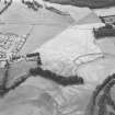
Aerial photographs of Dalginross show a permanent fort (NN72SE 2), and an adjacent temporary camp. The latter had 'Strathcathro' type entrances, a variant of the "clavicula" design with two sections of ditch and bank, one curving, one straight extending outwards to cover the entrance. The eastern entrance was threatened by a housing development.
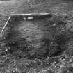
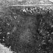
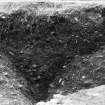
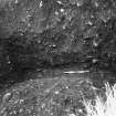
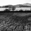
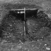
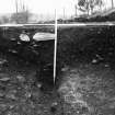
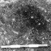
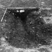
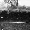
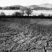
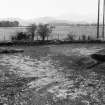
A two week excavation revealed both of the ditches as expected. Both had been backfilled with rampart material and later re-cut. At a later date, the upper part of the ditches was filled with silt and cobbles in order to level the field. Near the present field boundary a collapsed dry stone wall had preserved part of the bank within the curving ditch. This presrved the pre-camp land surface. The camp is probably of Flavian date but could conceivably be Antonine. The re-cutting of the ditches raises the possibilty that it could be both.
Sponsor: Historic Buildings and Monuments.
I M Rogers 1990.
The excavation at Dalginross, near Comrie, uncovered an entrance of the Stracathro type and showed that the camp was of two phases of construction.
I M Rogers 1993.
NS 773 208 In January and February 2001 two watching briefs were carried out at Dalginross Roman temporary camp (NMRS NN72SE 1), during the replacement of an electricity pole within the Scheduled area. They established that no archaeological deposits or features were present within the new pole hole. (GUARD 985).
Sponsor: Scottish Hydro-Electric plc.
G MacGregor 2001.
Scheduled with NN72SE 2, NN72SE 5 and NN72SE 21 as 'Dalginross, Roman fort, annexe, camp and stone circle 200m S of Penfillan... the buried remains of a complex of Roman military remains, appearing as... cropmarks on oblique aerial photographs... across the arable fields immediately to the southwest of Dalginross and to the east of the Water of Ruchill.'
Information from Historic Scotland, scheduling document dated 23 November 2010.
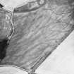
Aerial Photographic Transcription (18 November 1994)
An aerial transcription was produced from oblique aerial photographs. Information from Historic Environment Scotland (BM) 31 March 2017.
Watching Brief (14 October 2008)
NN 7732 2077 and NN 7714 2070 Watching briefs were maintained during the machine excavation of small trenches for two replacement poles, as part of the reinforcement of the Dalchonzie to Comrie overhead power line. Pole 5 was in a Roman temporary camp (NN72SE 1) a scheduled ancient monument. Pole 3 was 100m beyond its W boundary. Nothing of archaeological significance was found in either trench.
Archive and Report: Perth and Kinross Heritage Trust and RCAHMS
Funder: Scottish & Southern Energy
J Lewis (Scotia Archaeology), 2008
Publication Account (17 December 2011)
The camp at Dalginross, lying on the plain to the south of the fort, was first recorded in 1755 by Roy (1793: 63–4, Pl. XI). He planned the camp as an earthwork, but it has since been ploughed and is only now known as a cropmark. It measures 318m from WSW to ENE by 293m, enclosing 9.2ha (almost 23 acres). Entrances are recorded on all four sides, all protected by Stracathro-type gates.
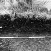
Excavations by St Joseph on the NNW side of the camp in 1966 recorded that the ditch was filled with silt and some large stones (RCAHMS St Joseph Collection: Notebook 4). Later excavations at the east clavicula recorded that the ditch was V-shaped with an ‘ankle-breaker’ and measured 1.9m in width and 1.8m in depth; it was recut to a shallower depth (1.7m wide and 0.8m deep). There were traces of a rampart some 0.23m in height and 1.45m in width. The oblique traverse ditch was 2m wide and 0.75m deep and was recut with a U shaped ditch, 2.55m wide and 0.9m deep (Rogers 1993: 277–86). The excavations at the eastern gate suggested that the entrance ditches were backfilled with turves prior to recutting, signifying deliberate slighting on abandonment. There was an indeterminate period of time between the two phases of use.
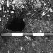
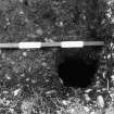
The excavations also recorded a single post-hole just inside the recut clavicula, which they suggested could have held a stake pushed into the bank (Rogers 1993: 286; see above, section 7a).
A series of pits is visible inside the camp. Some are larger pits which may represent quarrying activities, but others run in rows within the camp and are reminiscent of the pits inside the camps at Inchtuthil.
Pennant noted a series of oblong hollows outside the north side of the camp, and excavations by the local schoolmaster revealed large quantities of wood-charcoal (1776: ii, 98). Crawford noted that these could be lilia rather than ovens because they were outside the camp (1949: 43), but ovens outside camps are not unheard of (see Carronbridge, Inchtuthil and possibly Drumlanrig II).
There are numerous stray finds in the vicinity of the fort, including Antonine finds, and coins of Vespasian, Domitian and Alexander Severus (ad 222–35). A second possible camp (Dalginross II) lies in the annexe to the fort.
R H Jones


