Skelbo Castle
Castle (14th Century), House (17th Century), Motte And Bailey (Medieval)
Site Name Skelbo Castle
Classification Castle (14th Century), House (17th Century), Motte And Bailey (Medieval)
Canmore ID 14761
Site Number NH79NE 20
NGR NH 79223 95195
NGR Description Centred on NH 79223 95195
Datum OSGB36 - NGR
Permalink http://canmore.org.uk/site/14761
- Council Highland
- Parish Dornoch
- Former Region Highland
- Former District Sutherland
- Former County Sutherland
NH79NE 20 Centred on NH 79223 95195
(NH 7920 9518) Skelbo Castle (NR) (Ruins)
OS 6" map (1907)
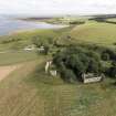
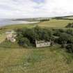
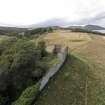
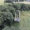
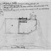
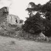
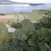
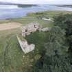
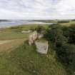
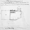
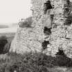
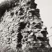
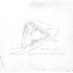
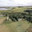
The ruin of Skelbo Castle has occupied the NW corner of a walled enclosure, and has been a rectangular structure measuring internally 43ft from E to W by 29ft 6ins transversely with walls 4ft 9ins thick. The wall of the enclosure, which is 4ft 6ins thick, in great measure remains standing. Abutting the SW end of the castle has been a range of buildings, now completely ruined.
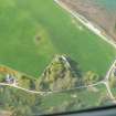
The site is a fine example of an early Norman fortress of the motte and bailey type. The older ruins are those of a keep and barmkin probably of 14th century date although a large section of the N curtain wall has been rebuilt with characteristic 16th - 17th century work, which type of masonry also appears in the 17th century ruin which stands in the SW corner of the courtyard (Bentrick 1926). This ruin was repaired and slated in 1809 and used as a dwelling-house for some time (ONB 1873). Name Book 1873; RCAHMS 1911; W D Simpson 1924; C D Bentrick 1926.
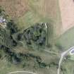
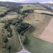
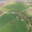
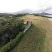
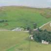
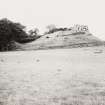
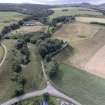
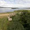
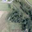
Generally as described above, the castle stands at the N corner and highest part of a triangular walled enclosure within which, to the SE of the castle, are three scarps ranging from 0.5m to 2.5m in height. The range of buildings to the SW appears to have measured some 17.0m by 9.0m. Apart from a fragment of standing wall on the W, it has been reduced by a rubble bank 0.5m high.
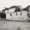
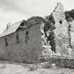
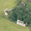
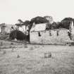
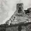
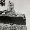
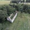
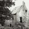
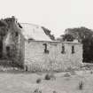
The building in the SW corner of the enclosure still stands two storeys high and is about two-thirds roofed. Some older local inhabitants recall it being in a habitable condition, and believe it to have served as a distillery.
Footings of another building, 9.0m by 5.0m and 0.5m high, adjoin the S wall of the enclosure. Fragments of walling are exposed in several other places and a great deal of rubble is strewn over the whole site.
Access has been from the SW corner of the enclosed area.
Visited by OS (R D L) 4 April 1964.
This castle was the seat of the Sutherlands of Skelbo, prior to their inheriting the Lordship of Duffus in the 14th century. Even after this inheritance it seems to have continued as their main domicile.
N Tranter 1962-70.
No change to the previous field report.
Revised at 1:10,000.
Visited by OS (J B) 27 May 1981.
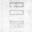
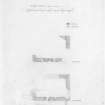
Non-Guardianship Sites Plan Collection, DC2587, 1928.
Field Visit (12 July 1909)
105. Skelbo Castle.
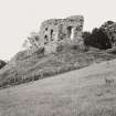
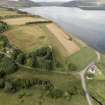
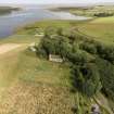
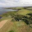
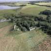
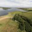
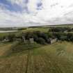
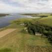
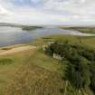
Skelbo Castle occupies an imposing site over- looking Loch Fleet, at the edge of a high bank. The castle is a complete ruin, and of the N. wall only does any considerable portion remain. It has occupied the NW. corner of a walled enclosure, and has been a rectangular structure measuring interiorly 43' from E. to W. and 29' 6" from N. to S., with walls 4' 9" in thickness. The wall of the enclosure, which is 4' 6" in thickness, in great measure remains standing. Abutting on the SW. end of the castle has been a range of buildings, now completely ruined. The castle formerly belonged to the family of Sutherland of Duffus.
See Origines, ii. pt. ii. p. 646.
OS 6-inch map, Sutherland, cx.
RCAHMS 1911, visited (AOC) 12th July 1909
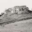
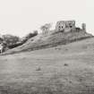
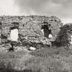
Photographic Survey (October 1966)
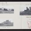
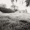
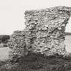
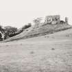
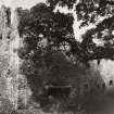
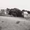
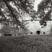
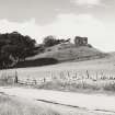
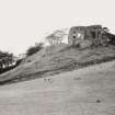
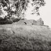
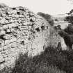
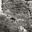
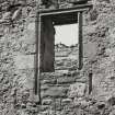
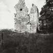
Photographic survey of Skelbo Castle, Sutherland, by the Scottish National Buildings Record/RCAHMS in October 1966.


