Pricing Change
New pricing for orders of material from this site will come into place shortly. Charges for supply of digital images, digitisation on demand, prints and licensing will be altered.
Edinburgh, 5 Old Church Lane, The Manse Of Duddingston
Bee Bole (19th Century), Manse (19th Century)
Site Name Edinburgh, 5 Old Church Lane, The Manse Of Duddingston
Classification Bee Bole (19th Century), Manse (19th Century)
Alternative Name(s) Duddingston Manse
Canmore ID 139102
Site Number NT27SE 3716
NGR NT 28459 72616
Datum OSGB36 - NGR
Permalink http://canmore.org.uk/site/139102
- Council Edinburgh, City Of
- Parish Edinburgh (Edinburgh, City Of)
- Former Region Lothian
- Former District City Of Edinburgh
- Former County Midlothian
Photographic Survey (November 1962)
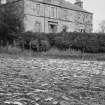
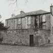
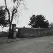
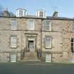
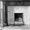
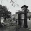
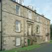
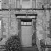
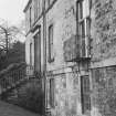
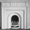
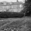
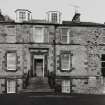
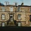
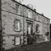
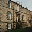
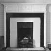
Photographic survey of the exterior and interior of Duddingston Manse, Edinburgh, by the Scottish National Buildings Record in 1962.
Watching Brief (4 August 2010 - 2 September 2010)
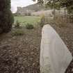
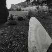
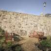
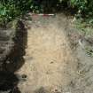
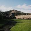
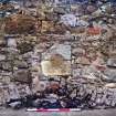
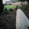
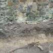
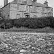
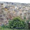
NT 28350 72616, NT 28376 72622, NT 28376 72617 and NT 28349 72612 Headland Archaeology Ltd conducted an evaluation and a level 1 programme of historic building recording at Duddingstone Manse, Duddingston. The work was undertaken to fulfil a planning condition imposed by the City of Edinburgh Council prior to a proposed redevelopment of the site. The evaluation comprised trial trenching (two trenches) to the rear of the upstanding frontage. Subsequently the City of Edinburgh Archaeological Service requested monitoring of a small additional area in order to clarify the results of the evaluation. This was carried out and is discussed below as trench three. The historic building assessment focused on a stretch of wall bordering the proposed development which contained traces of a pre-19th century building frontage. All three trenches were excavated in the north-west corner of the manse garden, within the ground plan of the proposed development. In the first two trenches undisturbed glacial till was uncovered within 0.30 m from the present ground surface and all layers of archaeological interest had been removed when the manse was relocated. The final trench which was undertaken during the monitoring phase revealed traces of wall foundations. No pottery was recovered from the overlying topsoil suggesting that the soil here may have been imported after the deposits associated with the manse were removed. The recording of the wall to the north showed that the frontage of pre-19th century buildings were preserved to a height of up to 2.5 m and that the wall had been raised by approximately 1 m in more recent times.
Archive: RCAHMS
Funder: Crichton Lang, Willis and Galloway (CLWG) Architects
Headland Archaeology 2010 (J. McCarthy) OASIS ID: headland1-85018
Standing Building Recording (27 April 2017 - 28 April 2017)
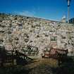
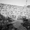
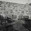
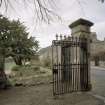
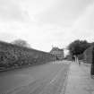
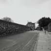
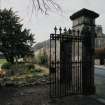
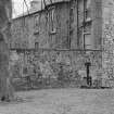
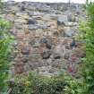
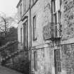
The Category B Listed wall is group listed with the Duddingston Manse and fronts Old Church Lane. The wall was the subject of a planning decision by Edinburgh Council that required it to be surveyed prior to re-pointing work. The west end of the wall was known to contain a number of blocked architectural features that might otherwise be altered by the proposed works. A photographic survey augmented by photogrammetric recording of the west end of the wall was conducted to record the extant features. The wall measured c.180m long and was 1.5m high rising to a height of 3m at its west end. At the east end it was constructed mainly of random rubble with regular courses of sandstone and whinstone (basalt). On the west side of the Manse Gate the wall was more uniform with regular courses of rough dressed sandstone. Features of historical interest included an iron tethering ring, two mason’s marks, two blocked doorways, a segmented arch with a possible gun-loop above it and four blocks of irregularly laid stonework. A possible blocked bee bole was found on the south side of the wall near the aforementioned segmented arch.
Information from Michael Cressey (CFA Archaeology Ltd) May 2017. OASIS ID: cfaarcha1-284695


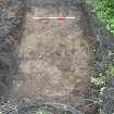
![Archaeological evaluation, Wall foundation [009], Duddingston Manse Gardens](http://i.rcahms.gov.uk/canmore/l/DP00350322.jpg)
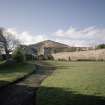
![Archaeological evaluation, Wall foundation [009] with wall stub visible in background, Duddingston Manse Gardens](http://i.rcahms.gov.uk/canmore/l/DP00350324.jpg)


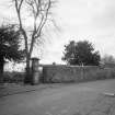


![Archaeological evaluation, Wall foundation [009], Duddingston Manse Gardens](http://i.rcahms.gov.uk/canmore/s/DP00350322.jpg)
![Archaeological evaluation, Wall foundation [009] with wall stub visible in background, Duddingston Manse Gardens](http://i.rcahms.gov.uk/canmore/s/DP00350324.jpg)
