
Little Rogart


Burnt Mound (Prehistoric)
Site Name Little Rogart
Classification Burnt Mound (Prehistoric)
Canmore ID 124413
Site Number NC70SW 106.05
NGR NC 7339 0361
Datum OSGB36 - NGR
Permalink http://canmore.org.uk/site/124413


- Council Highland
- Parish Rogart
- Former Region Highland
- Former District Sutherland
- Former County Sutherland
Field Visit (6 July 1995)
NC70SW 106.05 7339 0361
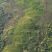
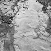
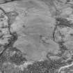
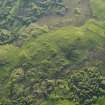
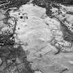
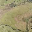
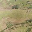
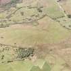
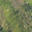
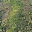
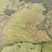
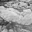
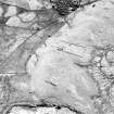
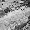
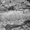
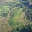
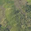
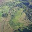
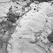
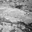
This C-shaped burnt mound is situated at the edge of an expanse of boggy ground on the E of Little Rogart township. It measures 8m from NW to SE by 5.3m transversely and stands to about 0.75m in height with an opening for a trough on the NE.
(ROG95 873)
Visited by RCAHMS (PJD) 6 July 1995

