
Following the launch of trove.scot in February 2025 we are now planning the retiral of some of our webservices. Canmore will be switched off on 24th June 2025. Information about the closure can be found on the HES website: Retiral of HES web services | Historic Environment Scotland
Little Rogart


Burnt Mound (Prehistoric)
Site Name Little Rogart
Classification Burnt Mound (Prehistoric)
Canmore ID 124413
Site Number NC70SW 106.05
NGR NC 7339 0361
Datum OSGB36 - NGR
Permalink http://canmore.org.uk/site/124413


- Council Highland
- Parish Rogart
- Former Region Highland
- Former District Sutherland
- Former County Sutherland
Field Visit (6 July 1995)
NC70SW 106.05 7339 0361
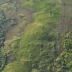
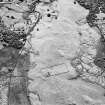
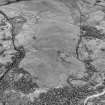
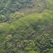
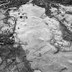
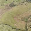
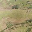
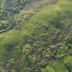
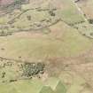
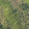
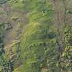
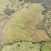
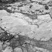
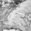
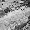
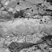
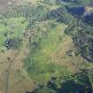
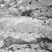
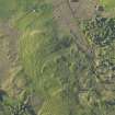
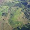
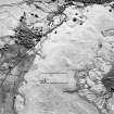
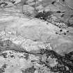
This C-shaped burnt mound is situated at the edge of an expanse of boggy ground on the E of Little Rogart township. It measures 8m from NW to SE by 5.3m transversely and stands to about 0.75m in height with an opening for a trough on the NE.
(ROG95 873)
Visited by RCAHMS (PJD) 6 July 1995

