 |
On-line Digital Images |
SC 1944754 |
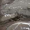
Aerial view of Upper Raitts main township, Badenoch & Strathspey, looking SSW. |
4/5/2000 |
Item Level |
 |
On-line Digital Images |
SC 1970147 |
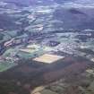
Aerial view of Banchory, Aberdeenshire, looking SSW. |
9/1966 |
Item Level |
 |
On-line Digital Images |
SC 1970150 |
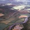
Aerial view of Aboyne Airfield and Burnfoot by River Dee, Aberdeenshire, looking East. |
9/1966 |
Item Level |
 |
On-line Digital Images |
SC 1970151 |
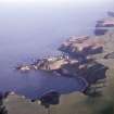
Aerial view of Dunnottar Castle, near Stonehaven, Aberdeenshire, looking SE. |
7/1969 |
Item Level |
 |
On-line Digital Images |
SC 1970158 |
Aerial view of unidentified location. |
8/1973 |
Item Level |
 |
On-line Digital Images |
SC 1970160 |
Aerial view of Barmekin of Echt, W of Aberdeen, looking NE. |
9/1973 |
Item Level |
 |
On-line Digital Images |
SC 1944774 |
Aerial view of Eldrable broch and multi-period settlement remains, Strath of Kildonan, East Sutherland, looking SW. |
1/9/1998 |
Item Level |
 |
On-line Digital Images |
SC 1944776 |
Aerial view of Kilphedir, Strath of Kildonan, East Sutherland, East Sutherland, looking NW. |
1/9/1998 |
Item Level |
 |
On-line Digital Images |
SC 1944780 |
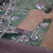
Aerial view of Kilphedir Broch, near Helmsdale, East Sutherland, looking NE. |
1/9/1998 |
Item Level |
 |
On-line Digital Images |
SC 1944787 |
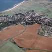
Aerial view of Portmahomack excavations 1998, Tarbat Ness, Easter Ross, looking SW. |
1/9/1998 |
Item Level |
 |
On-line Digital Images |
SC 1944792 |
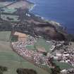
Aerial view of Dornoch and surrounding fields, East Sutherland, looking S. |
28/1/1998 |
Item Level |
 |
On-line Digital Images |
SC 1944793 |
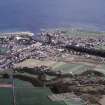
Aerial view of Dunrobin Castle and part of Golspie, East Sutherland, looking NE. |
28/1/1998 |
Item Level |
 |
On-line Digital Images |
SC 1944795 |
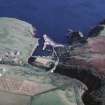
Aerial view of Brora and River Brora, East Sutherland, looking SE. |
28/1/1998 |
Item Level |
 |
On-line Digital Images |
SC 1944800 |
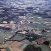
Aerial view of Lybster Harbour, East Sutherland, looking SSE. |
28/1/1998 |
Item Level |
 |
On-line Digital Images |
SC 1970168 |
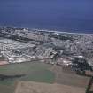
Aerial view of Kemnay and Kemnay House, near Inverurie, Aberdeenshire, looking NNE. |
9/1975 |
Item Level |
 |
On-line Digital Images |
SC 1970173 |
Aerial view of Nairn, looking N. |
9/1975 |
Item Level |
 |
On-line Digital Images |
SC 1970180 |
Aerial view of unidentified location. |
2/1976 |
Item Level |
 |
On-line Digital Images |
SC 1970181 |
Aerial view of unidentified location. |
2/1976 |
Item Level |
 |
On-line Digital Images |
SC 1970183 |
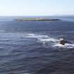
Aerial view of Pentland Firth Lighthouses and Skerries, looking N. |
2/1976 |
Item Level |
 |
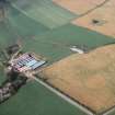
On-line Digital Images |
SC 1970189 |
Aerial view of unidentified location. |
|
Item Level |
 |
On-line Digital Images |
SC 1970194 |
Aerial view of palisaded enclosure cropmark at East Cairnbeg, Fordoun, Aberdeenshire, looking NE. |
9/1978 |
Item Level |
 |
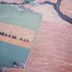
On-line Digital Images |
SC 1970196 |
Aerial view of Stracathro Roman Camp, near Brechin, Angus, looking SW. |
9/1978 |
Item Level |
 |
On-line Digital Images |
SC 1970204 |
Aerial view of Stracathro Roman Camp and ring ditch cropmarks, Brechin, Angus, looking W. |
10/1978 |
Item Level |
 |
On-line Digital Images |
SC 1944808 |
An oblique aerial view of the Warehouse East cairns, Yarrows, Wick, Caithness, looking N. |
28/1/1998 |
Item Level |


