Fountainhall, Allanshaugh House
House (Period Unassigned)
Site Name Fountainhall, Allanshaugh House
Classification House (Period Unassigned)
Alternative Name(s) Allan's Haugh
Canmore ID 99706
Site Number NT44NW 47
NGR NT 43239 49511
Datum OSGB36 - NGR
Permalink http://canmore.org.uk/site/99706
- Council Scottish Borders, The
- Parish Stow
- Former Region Borders
- Former District Ettrick And Lauderdale
- Former County Midlothian
NT44NW 47 43239 49511
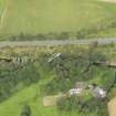
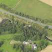
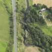
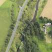
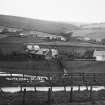
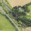
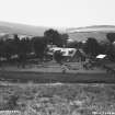
This two storey house is situated about 218m NE of the village of Fountainhall (NT44NW) on the S bank of the Gala Water. The house has the appearance of a lodge with a verandah, some half-timbering and second storey additions. The current OS digital maps show a large roofed with three smaller roofed buildings at this location.
Allan's Haugh is depicted as two roofed buildings on the 1st Edition of the OS 6-inch map (Edinburghshire, 1854, sheet23), described in the Object Name Book of the Ordnance Survey as ' two thatched cottages on the property of George Thomson of Burnhouse (NT44NW)' (Name Book 1850). The current OS maps annotate the group as 'Allanshaugh'.
Visited by RCAHMS (DE, JM), 27 August 2009
Project (April 2009 - February 2015)
The Borders Railway Project proposals are to reinstate the Newcraighall to Tweedbank section of the former Waverley Line. The reinstated railway line will be approximately 48km long and the majority of the route will use the existing railway embankment.
Several field surveys, archaeological evaluations and standing building surveys were undertaken by CFA Archaeology from April 2009 until February 2015.
CFA Archaeology


