Pricing Change
New pricing for orders of material from this site will come into place shortly. Charges for supply of digital images, digitisation on demand, prints and licensing will be altered.
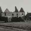
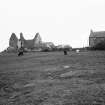
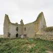
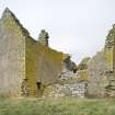
South Uist, Ormiclate, Ormaclett Castle
House (18th Century)
Site Name South Uist, Ormiclate, Ormaclett Castle
Classification House (18th Century)
Alternative Name(s) Ormiclate Castle; Ormacleit Castle; Ormaclett House
Canmore ID 9897
Site Number NF73SW 1
NGR NF 73996 31809
Datum OSGB36 - NGR
Permalink http://canmore.org.uk/site/9897
- Council Western Isles
- Parish South Uist
- Former Region Western Isles Islands Area
- Former District Western Isles
- Former County Inverness-shire
Ormiclate (Ormacleit, variously spelled: Ormaclate, Ormaclete, Ormiclett, Ormaclett) An important drovers' stance which Bald's map of 1805 shows to have been the site of a considerable community.
Ormiclate Castle, 1701-3
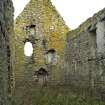
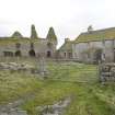
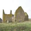
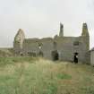
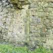
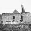
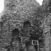
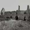
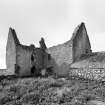
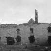
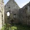
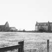
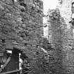
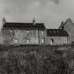
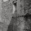
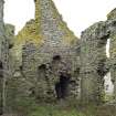
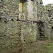
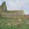
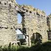
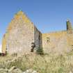
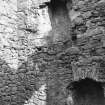
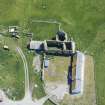
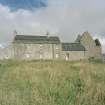
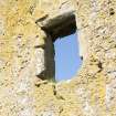
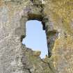
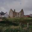
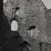
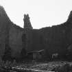
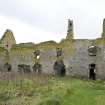
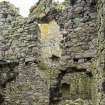
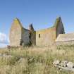
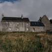
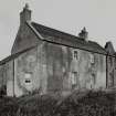
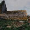
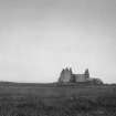
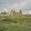
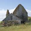
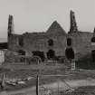
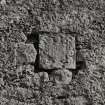
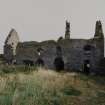
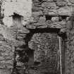
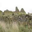
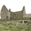
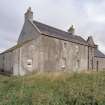
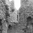
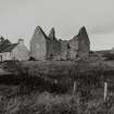
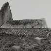
Enigmatic ruin of Allan Macdonald of Clanranald's smart mansion (Castle Tioram in Moidart being the ancient paternal seat), destroyed by fire on the day he was mortally wounded at Sheriffmuir in 1715. The house is T-plan, possibly reworking an earlier structure (thicker, oblique-angled walls at the west end suggest this), with an assymetrical north-facing entrance front enclosed originally by forecourt ranges to east and west in the manner of a 17th century laird's house. The recent unearthing of fragments of green stone explains the local tradition that Ormiclate's steep-gabled roofs were covered in marble. Evidence suggests a first floor piano nobile, with a lower floor level in the south jamb. Most of the chamfered freestone dressings (said to have been carved by French masons) were robbed long ago, leaving ragged holes, but a weathered Clanranald armorial panel survives above the entrance. The singlestorey section of the west forecourt range has an earlier segmental-arched fireplace, probably part of the original house of Ormiclate, begun in the late 16th century by Allan, 9th Clanranald.
Taken from "Greater Glasgow: An Illustrated Architectural Guide", by Sam Small, 2008. Published by the Rutland Press http://www.rias.org.uk
NF73SW 1 73996 31809.
Not to be confused with Ormiclate steading (centred NF 7403 3185), for which see NF73SW 13.
(NF 7399 3180) Ormaclett Castle (NAT)
OS 6" map, Inverness-shire, 2nd ed., (1904)
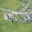
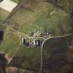
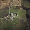
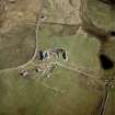
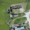
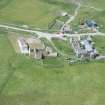
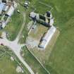
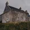
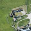
Ormaclett Castle, South Uist - a T-shaped two storeyed building with attic, built in 1701, burnt in 1715. Once a residence of the chief of Clanranald, the remains are now situated within a farm steading.
RCAHMS 1928.
RCAHMS confirmed. Local spelling of name is now Ormiclate (Information from estate factor).
Visited by OS (N K B) 10 May 1965.
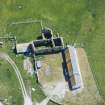
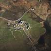
NF 7399 3180 A desk-based survey and non-invasive site assessment was made of the house, its two wings and adjacent structures, in association with Simpson & Brown Architects.
Sponsor: Southern Isles Amenity Trust.
T Addyman 2000
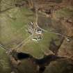
NF 7399 3180 In 1999, investigations were undertaken at Ormiclate Castle near Stoneybridge. The castle, now ruined, is situated on the edge of the machair plain. Historical records and oral history suggest that it was constructed in the early 1700s and was inhabited from 1707 until it was destroyed by fire during the second Jacobite uprising, in 1715. Because the period of occupation at Ormiclate was so brief, and ended catastrophically, the site is a potentially important source of high-status, closely dated material culture. The aim of the work was to investigate the area immediately around the castle, and attempt to retrieve artefacts which could be compared to the material culture being recovered from the nearby blackhouse settlement at Airigh Mhuilinn (the focus of the ongoing Flora MacDonald Project).
Geophysical survey was carried out in several areas outside the castle and the foundations of an adjacent (ruined) building were located. A test pit was excavated through deposits in the S wing of the building in an attempt to locate original floor deposits. The results showed that the original floor surface had been completely removed, and solid bedrock was reached at a minimum depth of 20cm below the ground surface, suggesting that the wall foundations are very shallow. The castle structure itself is fairly unstable and the interior ground surfaces have been damaged by a sewer pipe and animal trampling. Fragments of green gneiss slabs were found which were the remains of roofing material. The distinctive nature of this stone is reflected in oral tradition, which has it that the roof was covered with marble.
A test pit and a series of 30 shovel pits were excavated in an attempt to locate midden deposits outside the castle. Some ceramic, glass, bone and shell fragments were recovered, although midden deposits were not located. A cursory assessment shows that the majority of the ceramics and glass are of 19th and 20th-century date.
Sponsors: Boston University, Earthwatch.
A Badock and J Symonds 2000
Field Visit (3 August 1924)
Ormaclett Castle.
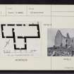
The remains of this house, a residence of the chief of Clanranald, which was built in 1701 and burnt in 1715*,are situated within a farm steading 3 ½ miles south of Howmore and 8 ½ miles north-north-west of Lochboisdale. It is two storeys and an attic in height, and is built on a T-shaped plan, with the main block, which measures 69 feet by 25 feet over all, running north-east and south-west, and the wing, 21 by 22 feet, projecting southwards. The main block is divided by a stone partition into two unequal parts, and the larger has probably been subdivided by timber partitions and provided with a wooden stair.(Fig. 155.)
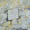
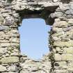
The masonry is of harled rubble with dressings of freestone, evidently imported. The gables are steeply pitched. The upper windows, which are less destroyed than those in the ground floor, have a splay wrought on jambs and lintels, the latter having slightly curved soffits. The attic was lit by dormers, now destroyed. The entrance is represented by a wide slapping in the north wall. Above is an armorial panel representing a helm, mantling and shield, the latter being parted per pale and charged in the upper dexter corner with a lion rampant above a hand couped, grasping across. The charge in the upper sinister corner is obliterated, but it may be either a burning mountain or more probably a castle, and below is a lymphad. These charges are inverted on the stone at Howmore (NF73NE 1.6).
The contiguous building on the west, comprising a single storey and a loft, contains a large kitchen fireplace with segmental arch 7 ½ feet wide.
RCAHMS 1928, visited 3 August 1924.
OS map: South Uist liii.
*Clan Donald, II., p. 344


