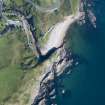
Berriedale Castle
Castle (Medieval)
Site Name Berriedale Castle
Classification Castle (Medieval)
Alternative Name(s) Lat 296; Berriedale River
Canmore ID 8089
Site Number ND12SW 3
NGR ND 1210 2243
Datum OSGB36 - NGR
Permalink http://canmore.org.uk/site/8089
- Council Highland
- Parish Latheron
- Former Region Highland
- Former District Caithness
- Former County Caithness
ND12SW 3 1210 2243
(ND 1210 2243) Berriedale Castle (NR)
(remains of)
OS 6" map (1964).
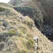
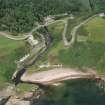
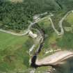
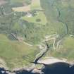
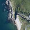
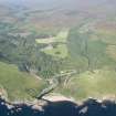
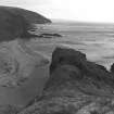
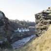
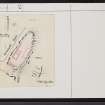
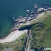
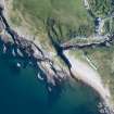
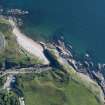
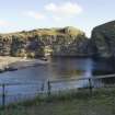
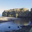
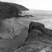
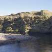
On a tongue of rock projecting across the mouth of the Berriedale River are the remains of Berriedale Castle. The promontory on which the castle stood has been cut off from the high ground in rear of it by a deep ditch across the neck. There has been a double row of buildings along the promontory separated by a narrow courtyard, and the whole enclosed by a wall of enceinte, still partly traceable. The remains are very scanty.
Berriedale Castle belonged in the 14th century to Rannald or Reginald Cheyne, thereafter passing through marriage to the Sutherlands and subsequently to the Oliphants. In 1526 Andrew Oliphant sold the property to his uncle, Laurence, Lord Oliphant, and in 1606 his successor sold Berriedale etc to the Earl of Caithness.
D MacGibbon and T Ross 1887-92; W Macfarlane 1906-8; RCAHMS 1911.
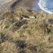
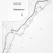
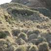
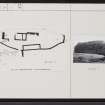
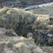
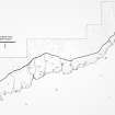
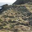
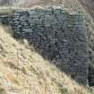
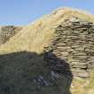
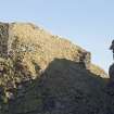
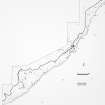
Berriedale Castle: Fragments of a massive enceinte wall (2.5m thick) can be traced here and there all round the promontory, but mostly on the W side. A turf-covered retangular foundation, 14 by 4.2m, lies on the E side abutting the cliff. On the W side, the footings of a range of buildings, 0.8m high, exist, at least three compartments being noted amid the rubble and grass. A small gatehouse, some 3.4m square, existed at the S end, but only the footings, 0.2m high, remain. On the N side of the rock-cut ditch are the remains of an abutment of a bridge which crossed the 6m wide gully. About 20m E of the gatehouse, and at a lower level, are the remains of a building with an apsidal-ended W end, 1m high. It was about 12m long by 3.5m broad, only a fragment of the N wall remaining, 3.5m long by 1m thick and 0.5m high. The E end terminates abruptly in a rock face.
Visited by OS (J L D), 14 June 1960.
As described.
Resurveyed at 1:2500.
Visited by OS (R L), 7 March 1968.
Special survey carried out by the RCAHMS in 1980.
RCAHMS 1980.
Berriedale Castle is as reported and illustrated by the previous field investigators.
Visited by OS (J M), 24 November 1982.
Project (1980 - 1982)


