
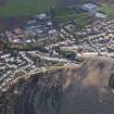
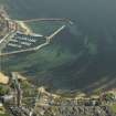
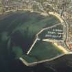
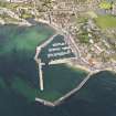
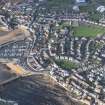
Anstruther Wester, General


Burgh (Medieval), Village (Period Unassigned)
Site Name Anstruther Wester, General
Classification Burgh (Medieval), Village (Period Unassigned)
Canmore ID 77556
Site Number NO50SE 56
NGR NO 5600 0300
Datum OSGB36 - NGR
Permalink http://canmore.org.uk/site/77556


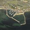
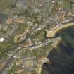

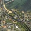
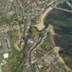
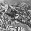


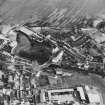
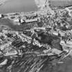
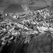
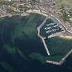


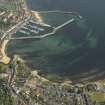
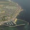


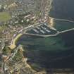
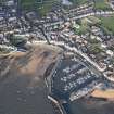

- Council Fife
- Parish Anstruther Wester
- Former Region Fife
- Former District North East Fife
- Former County Fife
NO50SE 56 5600 0300.
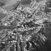
Erected burgh of barony in 1540/1; became a royal burgh in 1587.
G S Pryde 1965.
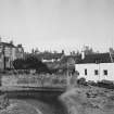
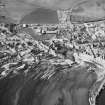
The National Trust Survey (1938) note a few 18th century houses with harled walls and crowstepped gables.
Classification: 3B, 1A, 7C houses.
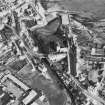
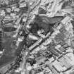
Photographic Survey (September 1962)
Photographic survey of buildings in Anstruther, Fife, by the Scottish National Buildings Record in September 1962.
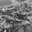
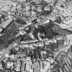
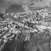
Photographic Survey (July 1963)
Photographic survey of buildings in Anstruther Wester, Fife, by the Ministry of Work/Scottish National Buildings in July 1963.

