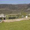
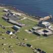
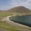
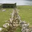
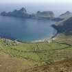
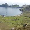
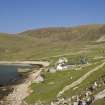
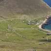
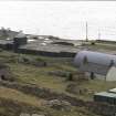
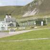
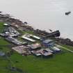
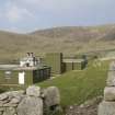
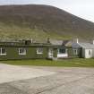
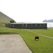
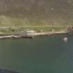
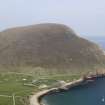
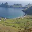
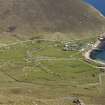
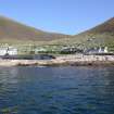
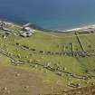
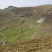
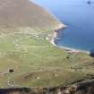
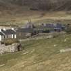
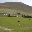
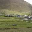
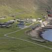
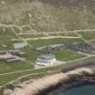
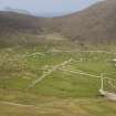
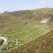
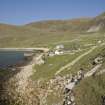
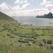
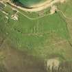
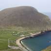
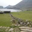
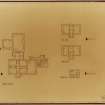
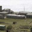
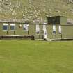
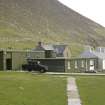
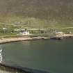
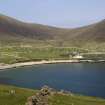
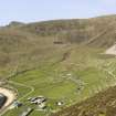
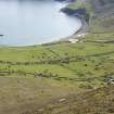
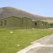
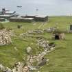
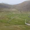
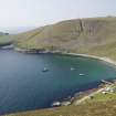
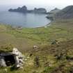
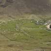
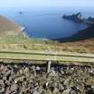
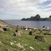
St Kilda, Hirta, Village Bay, Ministry Of Defence Establishment
Military Base (20th Century)
Site Name St Kilda, Hirta, Village Bay, Ministry Of Defence Establishment
Classification Military Base (20th Century)
Canmore ID 75830
Site Number NF19NW 23
NGR NF 10292 99194
NGR Description Centred NF 10292 99194
Datum OSGB36 - NGR
Permalink http://canmore.org.uk/site/75830
- Council Western Isles
- Parish Harris
- Former Region Western Isles Islands Area
- Former District Western Isles
- Former County Inverness-shire
NF19NW 23 10292 99194
'In advance of MOD re-development of the army base, test trenches were dug around the compound (centred NF 102 991) to examine the state of stratigraphy. Most of the area had been seriously damaged during the 1957 'Hard Rock' landing, and by subsequent construction work.' Sponsors: National Trust for Scotland; Durham University.
N Emery 1990b.
Watching Brief (1990)
'In advance of MOD re-development of the army base, test trenches were dug around the compound (centred NF 102 991) to examine the state of stratigraphy. Most of the area had been seriously damaged during the 1957 'Hard Rock' landing, and by subsequent construction work.' Sponsors: National Trust for Scotland; Durham University.
N Emery 1990b.
Watching Brief (16 April 2010 - 13 September 2010)
A second watching brief was carried out during the excavation of a trench, c100m x 0.7m by 0.7–1.0m deep, relating to the insertion of heating ducts along the main
building of the military base on St Kilda. The majority of the trench was machine excavated under archaeological supervision, three areas were hand dug. Deposits found beneath a 200–400mm thick turf and topsoil layer largely consisted of redeposited rubble associated with the post- 1957 military base. A concentration of porcelain, tiles and frosted glass in the southern 15m perhaps indicates the site
of a washroom. The 1m deep top soils to the N of this may be undisturbed but are more likely to be similarly redeposited material from the construction of the present day military base. An undisturbed glacial deposit was observed 20m N
of this, underlying the soils. The last stretch of trench again consisted of redeposited rubble associated with the base. A third watching brief was undertaken during the excavation of a small section of pipe from the diesel storage
tanks to the LCL ramp. The pipe had been laid above ground, over redeposited material from the early stages of the creation of the fuel store and nothing of archaeological interest was recorded.
I McHardy 2010
Watching Brief (5 November 2014 - 20 November 2014)
NF 1028 9916 A watching brief was carried out, 5–20 November 2014, during test pitting at the QinetiQ base in Village Bay in advance of the redevelopment of the base. Four trenches were excavated, a maximum of 0.9m in width and 1.8m in length. Bedrock was encountered between 1.55m and 0.65m below the turf. No artefacts were recovered which could be definitely associated with occupation of the island before the evacuation
of 1930. However, in one trench, deep topsoil directly overlay natural levels and may represent arable land use of that period. The other trenches all produced substantial quantities of unworked, unmortared stone which probably derived from the demolition of part of the glebe wall, which was built after 1827 and reduced between 1957 and 1961, during the early
phases of the military base. Material from the demolition or refitting of ablutions, latrines and kitchen buildings of these early phases was recorded.
Report: The National Trust for Scotland
Funder: QinetiQ Ltd
Carol Knott – CK Archaeology
(Source: DES)
Watching Brief (2 April 2021 - 31 August 2021)
NF 10291 99187 An archaeological watching brief was carried out by GUARD Archaeology Limited. The archaeological works monitored all ground-breakings associated with ground reinstatement, construction of a new refuelling station, removal of water storage tanks, installation of new water plant/tanks, and replacement of water supply pipework serving the Factor's House, NTS Ablutions and Cottages, and the new MoD development. They also comprised of supervising the laying of a new electric cable from the Energy Centre to the two radar stations located at the top of the hill who could have impacted the surrounding cultural heritage sites. The archaeological watching brief revealed two possible undated features. Archaeological artefacts were uncovered including one pounding stone tool and two possible prehistoric ceramic body sherd fragments.
Information from A. Byldebal and C. Hunter - GUARD Archaeology Ltd.
OASIS ID: guardarc1-429246


