East Reston
Rig And Furrow (Medieval) - (Post Medieval)
Site Name East Reston
Classification Rig And Furrow (Medieval) - (Post Medieval)
Canmore ID 72444
Site Number NT96SW 119
NGR NT 91091 60695
NGR Description Centred NT 91091 60695
Datum OSGB36 - NGR
Permalink http://canmore.org.uk/site/72444
- Council Scottish Borders, The
- Parish Coldingham
- Former Region Borders
- Former District Berwickshire
- Former County Berwickshire
NT96SW 119 centred NT 91091 60695
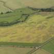
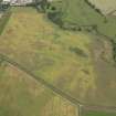
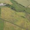
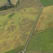
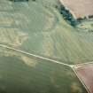
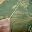
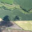
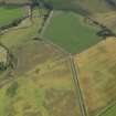
This rig, which is some 150m by 60m in extent, is situated on a slope above the Eye Water, and has been recorded as cropmarks on oblique aerial photographs (RCAHMSAP 1983, 1984, 1989, 1990, 2003).
Information from RCAHMS (MMB) 2 February 2005
Sbc Note (21 March 2016)
Visibility: This was the site of an archaeological monument, which may no longer be visible.
Information from Scottish Borders Council
Previously also listed under duplicate site NT96SW 510 -CANCELLED. HES (LCK) 11.6.2024


