Pricing Change
New pricing for orders of material from this site will come into place shortly. Charges for supply of digital images, digitisation on demand, prints and licensing will be altered.
Monzie
Cropmark(S) (Period Unknown), Palisaded Settlement (Prehistoric), Settlement (Prehistoric)
Site Name Monzie
Classification Cropmark(S) (Period Unknown), Palisaded Settlement (Prehistoric), Settlement (Prehistoric)
Canmore ID 71782
Site Number NN82SE 78.01
NGR NN 8799 2416
Datum OSGB36 - NGR
Permalink http://canmore.org.uk/site/71782
- Council Perth And Kinross
- Parish Crieff
- Former Region Tayside
- Former District Perth And Kinross
- Former County Perthshire
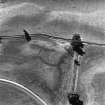
Aerial Photographic Transcription (5 February 1997 - 18 February 1997)
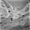
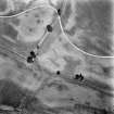
An aerial transcription was produced from oblique aerial photographs. Information from Historic Environment Scotland (BM) 31 March 2017.
Field Visit (26 November 1997)
NN82SE 78.01 8799 2416
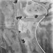
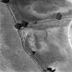
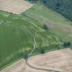
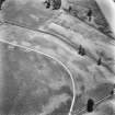
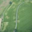
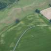
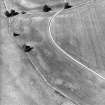
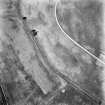
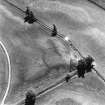
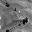
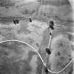
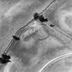
Cropmarks on oblique aerial photographs (RCAHMSAP 1989) reveal a roughly circular enclosure that is situated on the leading edge of a terrace, with the ground falling away to the S, W and NW. A broad ditch (about 3m to 4m across) encloses an area about 50m in diameter; the WNW arc of the ditch is obscured by an area of darker vegetation on the photograph. A gap about 11m wide on the E marks the position of the entrance. Within the E half of the interior a palisade trench describes an arc which lies roughly symmetrical to the ditch and defines an enclosure about 35m in diameter. The arc of the palisade trench runs across the gap in the broad ditch of the larger enclosure, indicating they represent two phases of occupation. Several squarish cropmarks of unknown function lie to the ENE of the enclosure.
(EARNAP 128-30)
Visited by RCAHMS (DCC) 26 November 1997
Aerial Photographic Interpretation (26 August 1999)
NN82SE 78.01 8799 2416
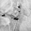
Recent aerial photography (RCAHMSAP 1995) has revealed the cropmark of a second palisade running between the ditch and palisade trench. Two circular markings within the settlement, one of which intersects the palisades, may represent round-houses. This site was previously interpreted as a henge monument until the internal palisades were identified.
Information from RCAHMS (KB) 26 August 1999


