
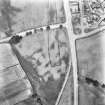
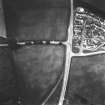
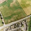
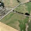
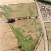
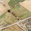
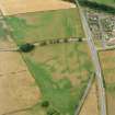
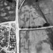
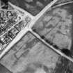
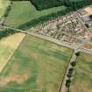
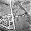
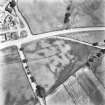
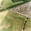
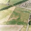
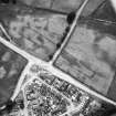
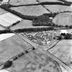
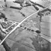
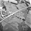
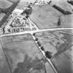
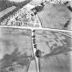
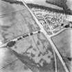
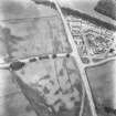
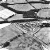
Holywood


Enclosure (Period Unassigned)
Site Name Holywood
Classification Enclosure (Period Unassigned)
Canmore ID 69936
Site Number NX97NW 47
NGR NX 94741 79679
Datum OSGB36 - NGR
Permalink http://canmore.org.uk/site/69936


- Council Dumfries And Galloway
- Parish Holywood
- Former Region Dumfries And Galloway
- Former District Nithsdale
- Former County Dumfries-shire
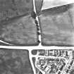
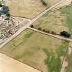
Aerial Photographic Transcription (15 January 1990 - 12 December 1990)
An aerial transcription was produced from oblique aerial photographs. Information from Historic Environment Scotland (BM) 31 March 2017.
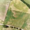
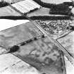
Aerial Photographic Transcription (1991)
Aerial Photographic Transcription (1991)

