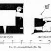
Corsewall Castle
Tower House (Medieval)
Site Name Corsewall Castle
Classification Tower House (Medieval)
Alternative Name(s) Damhouse
Canmore ID 60420
Site Number NW97SE 3
NGR NW 99131 71446
NGR Description Centre
Datum OSGB36 - NGR
Permalink http://canmore.org.uk/site/60420
- Council Dumfries And Galloway
- Parish Kirkcolm
- Former Region Dumfries And Galloway
- Former District Wigtown
- Former County Wigtownshire
NW97SE 3 9913 7144.
(NW 9913 7144) Corsewall Castle (NR) (Remains of)
OS 6" map (1957)
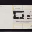
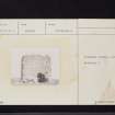
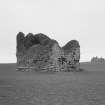
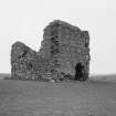
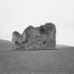
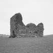
The ruins of a 15th century castle, of which little remains above the vault, situated on a mound surrounded by a shallow fosse about 30' wide and 3' deep. The building has measured 42' by 33' overall with walls 8' thick, and has a splayed base course projecting 7" from the wall face below the sill level. It was in ruins by 1684.
RCAHMS 1912
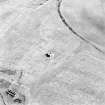
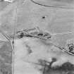
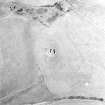
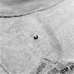
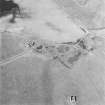
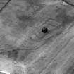
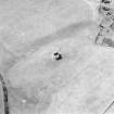
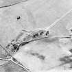
The remains of this castle are as described by RCAHMS. There are now no surveyable traces of the 'fosse' which surrounded the castle, although the course of it can be seen on St Joseph's AP.
Visited by OS (WDJ) 8 February 1968
A 'silver plate', bearing an indecipherable inscription was found near Corsewall Castle in the 19th century; its present whereabouts are not known.
G Wilson 1885
A number of gold coins were found here in January 1802.
J Lindsay 1845
Gold ring, some coins and silver plate found a few years ago.
NSA 1845
A small cannon, still to be seen at Barnhills, was dug up here in 1791.
W M'Ilwriath 1877
This 15th-century tower-house stands within a rectilinear ditched enclosure (visible as a cropmark) 382m WNW of Damhouse farmsteading.
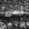
The building (formerly of three principal storeys) now comprises a vaulted ground floor (7.8m by 3.5m within walls up to 2.6m thick) and part of the first floor. It rises from a chamfered base-plinth; the entrance is on the SW and access to the first floor is provided by a mural stair in the S angle.
OSA 1792; NSA 1845; W Macfarlane 1906-8; RCAHMS 1912; 1985, visited July 1984
Note (30 November 2021)
The location, classification and period of this site have been reviewed.


