Scheduled Maintenance
Please be advised that this website will undergo scheduled maintenance on the following dates: •
Tuesday 3rd December 11:00-15:00
During these times, some services may be temporarily unavailable. We apologise for any inconvenience this may cause.
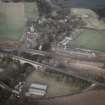
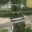
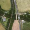
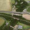
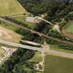
Dunglass, New Bridge
Road Bridge (18th Century)
Site Name Dunglass, New Bridge
Classification Road Bridge (18th Century)
Alternative Name(s) Dunglass 'new' Bridge; Dunglass Burn; Dunglass Dean
Canmore ID 58887
Site Number NT77SE 45
NGR NT 76992 72085
Datum OSGB36 - NGR
Permalink http://canmore.org.uk/site/58887
- Council Scottish Borders, The
- Parish Cockburnspath
- Former Region Borders
- Former District Berwickshire
- Former County Berwickshire
NT77SE 45 76992 72085
See also NT77SE 37, NT77SE 43, NT77SE 44, NT77SE 114.
Dunglass New Bridge [NAT]
OS 1:10,000 map, 1987.
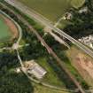
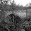
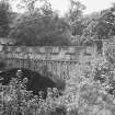
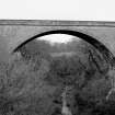
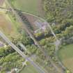
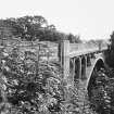
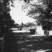
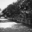
(Location cited as NT 769 721). 'New' Bridge, Dunglass, early 19th century. A single-segmental rubble arch with rusticated voussoirs and a castellated parapet.
J R Hume 1976.
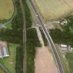
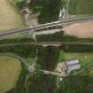
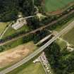
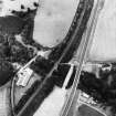
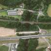
This bridge carries the former line of the A1 public road over the Dunglass Burn, which flows in Dunglass Dean and here forms the boundary between the parishes of Oldhamstocks (East Lothian) and Cockburnspath (Berwickshire).
Information from RCAHMS (RJCM), 25 March 1998.
Project (2007)
This project was undertaken to input site information listed in 'Civil engineering heritage: Scotland - Lowlands and Borders' by R Paxton and J Shipway, 2007.
Publication Account (2007)
A single segmental arch of 83 ft span rising to 77 ft above the bed of the burn. Its masonry is boldly rusticated with castellated parapets, possibly a style chosen to please the local landowner. It was bypassed by through traffic in 1932. Bilsdean Bridge (NT 7630 7250) is in the same style.
R Paxton and S Shipway 2007
Reproduce from 'Civil Engineering heritage: Scotland - Lowlands and Borders' with kind permission of Thomas Telford Publishers.
Sbc Note (15 April 2016)
Visibility: Standing structure or monument.
Information from Scottish Borders Council


