Broxmouth
Burial(S) (Iron Age), Cist(S) (Iron Age), Fort (Early Iron Age), Settlement (Early Iron Age)
Site Name Broxmouth
Classification Burial(S) (Iron Age), Cist(S) (Iron Age), Fort (Early Iron Age), Settlement (Early Iron Age)
Canmore ID 58800
Site Number NT77NW 16
NGR NT 70111 77388
Datum OSGB36 - NGR
Permalink http://canmore.org.uk/site/58800
- Council East Lothian
- Parish Dunbar
- Former Region Lothian
- Former District East Lothian
- Former County East Lothian
NT77NW 16 NT 70111 77388
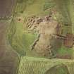
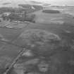
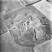
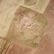
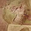
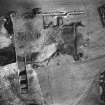
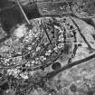
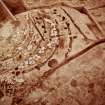
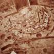
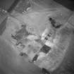
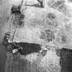
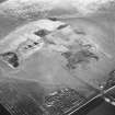
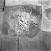
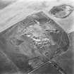
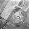
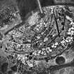
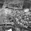
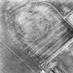
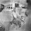
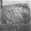
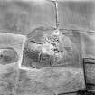
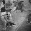
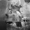
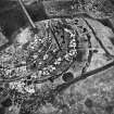
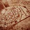
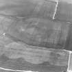
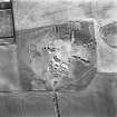
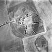
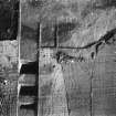
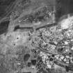
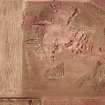
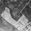
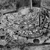
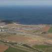
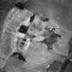
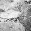
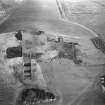
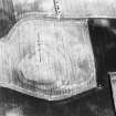
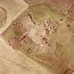
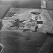
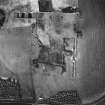
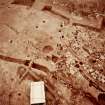
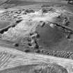
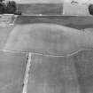
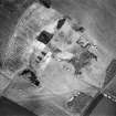
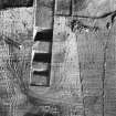
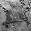
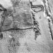
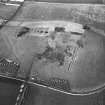
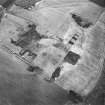
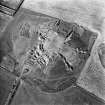
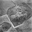
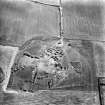
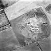
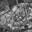
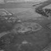
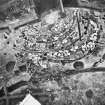
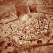
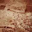
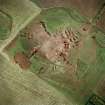
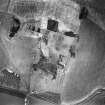
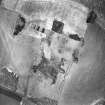
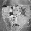
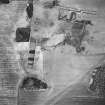
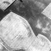
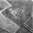
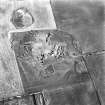
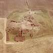
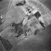
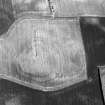
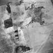
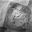
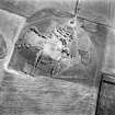
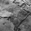
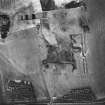
(NT 7010 7740) The crop-marks of a multivallate enclosure on an unnamed hill at Broxmouth were first recognised by Dr St Joseph in 1956. Further aerial photographs have been taken by John Dewar in 1972, by Fairey Surveys Ltd in 1974, and by the RCAHMS in 1976-8.
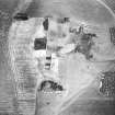
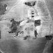
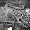
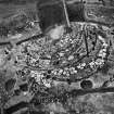
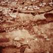
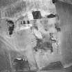
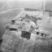
The site, on a low eminence, 25m OD, was excavated by P Hill (for IAM) in 1977-8; he uncovered a hillfort of considerable complexity. It was preceded by an apparently unenclosed homestead, consisting of a large circular timber house. The hillfort was originally univallate with two opposing entrances, but subsequently its design underwent four major, and several minor phases of modification during which the fort became alternately bivallate and univallate and its entrances rebuilt in different ways. Almost the entire interior of the hillfort was excavated, revealing five houses of ring-groove type up to 11m in diameter, but ploughing must have destroyed others. Three scooped stone- built houses, which had clearly been occupied over a considerable period of time, represented post-fort occupation. Deposits of ox skulls at the base of the wall of one of these houses may be connected with ritual dedications.
A cemetery of nine inhumation graves lay immediately beyond the outermost ditch of the fort, and another four burials were found within the fort. The form of the graves varied, but most were lined and covered with stone slabs, aligned NNE-SSW, and they contained loosely flexed burials; the majority of the skeletons represent men and women who died in their early twenties.
It is considered likely that the site saw sporadic use from about 2000 BC and was settled for much of the 1st millenium BC and the first two centuries of the AD period.
Evidence for the use of the site in the neolithic period comes from two flint scatters on the flanks of the hill, and a sherd of late neolithic pottery found in a small pit in the cemetery area. Hill considers it likely that the cemetery and most of the interior burials might predate any structural remains on the hill and thus belong to this period. (Perhaps significantly, one of the burials was placed in a deep circular pit, a type of grave that has also been found, though containing crouched inhumations, radiocarbon dated to 2210 +/- 70 bp, at the nearby palisaded enclosure at Dryburn Bridge - see NT77NW 18).
Among the many finds from the site, noted by Hill, was a hoard of Samian ware sherds and broken glass bangles (of Kilbride-Jones' types 2 and 3).
P Hill 1978; J N G Ritchie and A Ritchie 1981.
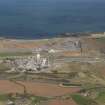
The multivallate hillfort lies on a low eminence, one and a half miles SE of Dunbar. As the site was to be totally destroyed, excavation of the interior and E and SW entrances was undertaken.
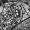
The interior contained (at time of publication) eleven well-preserved remains of stone and timber built roundhouses, as well as pits, postholes and stakeholes. House types included ring-groove, ring-ditch, double ring-groove and stone revetted platform houses. Substantial quantities of sandstone and limestone flags had been manuported to the site from cliffs half a mile to the SW. The houses varied from 8-14m in diameter.
There were three defensive phases: a palisade enclosing .25ha on the crown of the hill; a univallate defence with a single entrance enclosing .65ha; and a multivallate defence with entrances in the E and SW extending over 2ha. The inner univallate phase ditch was backfilled in prehistory and is overlain by a flagged floor. The ditches are between 1.8 and 3.2m deep and from 3 to 8m wide. The SW entrance contains a well-constructed stone gateway through the outer defences.
Large amounts of shell, bone, and slag, small amounts of native pottery and worked bone, stone and bronze have been recovered.
Sponsor : SDD-AM
P Hill (Dunbar Archaeological Committee)
P Hill
Aerial Photographic Interpretation (1956)
The crop-marks of a multivallate enclosure on an unnamed hill at Broxmouth were first recognised by Dr St Joseph in 1956.
Aerial Photography (1972)
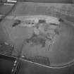
Aerial photographs of Broxmouth were taken by John Dewar in 1972
J Dewar 1972
Aerial Photography (1976)
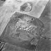
RCAHMS undertook aerial photography at Broxmouth in 1976.
Note (3 April 2017)
This fort, which was fully excavated in 1978-9 prior to its destruction by quarrying, occupied a prominent hillock on the coastal plain to the SE of Dunbar. Oval on plan, aerial photography revealed a circuit of three ditches, with a fourth on the W springing from the outermost on the NS and SW, which enclosed an area measuring about 88m from E to W by 70m transversely (0.48ha; c. 0.38ha within the rampart). Excavation showed that there was also earlier phases of settlement, beginning with the construction of a palisaded enclosure at about 640-570 cal BC, which was followed by an unenclosed settlement of massive timber round-houses. The succession of defences was long and complex. The first rampart was constructed about 490-430 cal BC and formed an univallate enclosure with opposed entrances on the E and W. A second rampart and ditch were added subsequently and a monumental timber-lined entrance way was created at the W entrance. About 395-375 cal BC this entrance was blocked and a new entrance built on the SW, and the defences were elaborated in a series of stages, part of the circuit displaying three lines of ramparts and ditches. These went out of use 295-235 cal BC and settlement expanded over the redundant defences, contracting again 235-210 cal BC. The final phase of occupation began about 100-60 BC, comprising a series of stone and timber round-houses, and was abandoned AD 155-210. Analysis immediately after the completion of the excavation has been superseded by a programme of post excavation work in the University of Bradford and a comprehensive dating programme based on 158 c14 dates from long stratigraphic chains. Unusually for Scottish forts and settlements, the calcareous soils had not only preserved an extensive faunal assemblage, but also a wide range of bone tools and artefacts, as well as pottery, copper alloy objects and evidence of iron working; objects from the latest phase included items of Roman manufacture. Later activity in the fort prior to its reduction by post-medieval ploughing was limited to a single inhumation dating from the late Roman Iron Age.
Information from An Atlas of Hillforts of Great Britain and Ireland – 03 April 2017. Atlas of Hillforts - SC0485


