
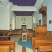
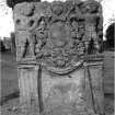
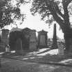
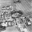
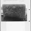
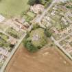
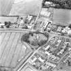
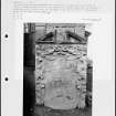
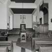
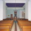
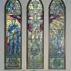
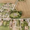
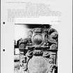
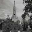
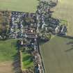
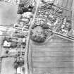
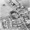
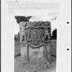
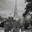
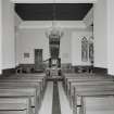
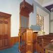
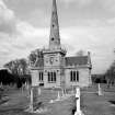
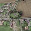
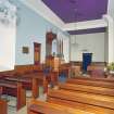
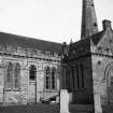
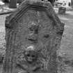
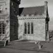
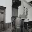
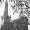
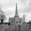
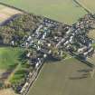
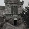
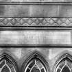
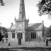
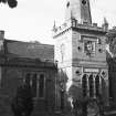
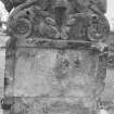
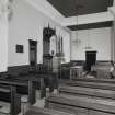
East Saltoun, Parish Church And Churchyard


Burial Ground (19th Century), Church (19th Century) (1805), War Memorial(S) (20th Century)
Site Name East Saltoun, Parish Church And Churchyard
Classification Burial Ground (19th Century), Church (19th Century) (1805), War Memorial(S) (20th Century)
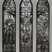
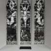
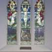
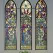
Alternative Name(s) War Memorial; Saltoun Parish Church Memorial Window
Canmore ID 54681
Site Number NT46NE 29
NGR NT 47446 67877
Datum OSGB36 - NGR
Permalink http://canmore.org.uk/site/54681


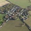
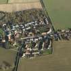


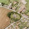

- Council East Lothian
- Parish Saltoun
- Former Region Lothian
- Former District East Lothian
- Former County East Lothian
EXTERNAL REFERENCE:
National Library: Saltoun Collection - 1 print elevation
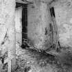
Photographic Survey (1956)
Photographic survey by the Scottish National Buildings Record in 1956.
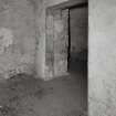
Measured Survey (1997)
RCAHMS carried out a measured survey of East Saltoun Parish Church and produced a plan of the church and the crypt

