Pricing Change
New pricing for orders of material from this site will come into place shortly. Charges for supply of digital images, digitisation on demand, prints and licensing will be altered.
Soutra Aisle
Field System (Period Unassigned), Village (Period Unassigned)
Site Name Soutra Aisle
Classification Field System (Period Unassigned), Village (Period Unassigned)
Canmore ID 54543
Site Number NT45NE 2
NGR NT 453 584
Datum OSGB36 - NGR
Permalink http://canmore.org.uk/site/54543
- Council Scottish Borders, The
- Parish Fala And Soutra (Ettrick And Lauderdale)
- Former Region Borders
- Former District Ettrick And Lauderdale
- Former County Midlothian
NT45NE 2 453 584.
(NT 4540 5830) Deserted Mediaeval Village of Soutra (Site of) (NAT)
OS 6" map (1964)
The Statistical Account [OSA] notes that Soutra seemed formerly to have been a very considerable village, of which only two or three cottages remained. By 1852, there were only a few undulations left, marking the site of the village.
OSA 1794; Name Book 1852
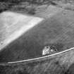
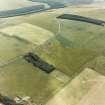
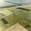
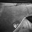
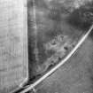
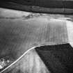
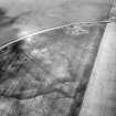
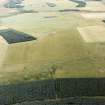
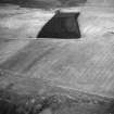
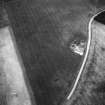
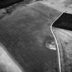
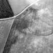
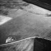
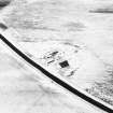
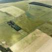
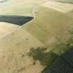
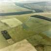
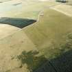
Beside Soutra Aisle (NT45NE 1), crop marks reveal the foundations of another buiding, probably also medieval, but on the level ground N and NE of the Aisle are a number of lines of ditch, one circular (see NT45NE 10). Excavation alone can show if they formed part of the medieval village known to have existed here.
J K St Joseph 1955
There is nothing to be seen of this village in ground under cultivation.
Visited by OS (BS) 31 July 1975.


