Yair Bridge
Road Bridge (18th Century)
Site Name Yair Bridge
Classification Road Bridge (18th Century)
Alternative Name(s) River Tweed; Fairnilee Bridge; Fairnalie; Yair Bridge, Fairnilee
Canmore ID 54446
Site Number NT43SE 5
NGR NT 45815 32554
Datum OSGB36 - NGR
Permalink http://canmore.org.uk/site/54446
- Council Scottish Borders, The
- Parish Caddonfoot
- Former Region Borders
- Former District Ettrick And Lauderdale
- Former County Selkirkshire
NT43SE 5 45815 32554
(NT 4581 3255) Yair Bridge (NAT)
OS 6" map (1971)
EXTERNAL REFERENCE:
Scottish Records Office: GD 157/821
Payment of Harden's subscription of £10.10.0.
Cash book. c1762.
(Undated) information in NMRS.
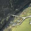
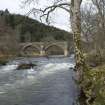
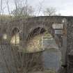
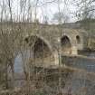
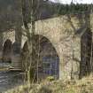
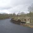
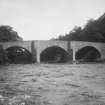
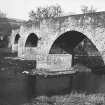
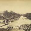
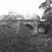
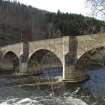
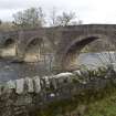
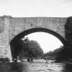
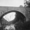
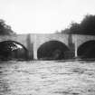
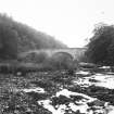
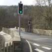
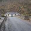
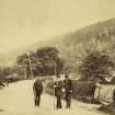
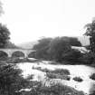
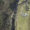
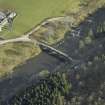
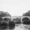
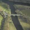
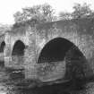
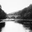
Yair Bridge, of three arches, carries the Edinburgh to Selkirk road over the River Tweed. The date of its construction is not recorded, but as the Act for the road was passed in 1764 it is reasonable to assume that the bridge dates from this time or perhaps a few years earlier. The masonry is random rubble, apart from the bases of the piers and abutments, which are block in course. The total span is 146 ft and the span of each arch 42 ft, the head- way over the river being 22 ft. The width between the parapets is 13 ft 9 ins; there is no footway, but a refuge is provided on either side over each pier.
RCAHMS 1957, visited 1948.
(Location cited as NT 458 325). Yair Bridge, Fairnilee: mid 18th century. A handsome 3-span rubble bridge, with segmental arches and triangular cutwaters extended upwards to form pedestrian refuges.
J R Hume 1976.
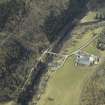
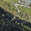
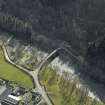
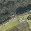
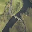
This bridge carries the A707 public road across the River Tweed, which here forms the boundary between the parishes of Caddonfoot (to the N) and Selkirk (to the S).
The location assigned to this record indicates the centre of the span.
Information from RCAHMS (RJCM), 23 January 2005.
Photographic Survey (1941)
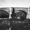
Photographic survey of Yair Bridge, Selkirkshire, for the National Buildings Record Scottish Council in 1941.
Publication Account (2007)
A substantial three-span rubble masonry bridge over the Tweed west of Melrose built in 1762. It was rebuilt above the arch rings in 1987–88 incorporating reinforced concrete relieving arches and mass concrete. Although much of the original stone was re-used as facing, this picturesque bridge is not as authentic as its appearance now implies.
R Paxton and J Shipway 2007
Reproduced from 'Civil Engineering heritage: Scotland - Lowlands and Borders' with kind permission from Thomas Telford Publishers.
Sbc Note (15 April 2016)
Visibility: Standing structure or monument.
Information from Scottish Borders Council
Note (15 November 2019)
A member of the public has informed HES that the Act referred to in the text was passed in 1768, not 1764. ("An Act for repairing several roads leading through the County of Selkirk). The text of the Act infers that the bridge already existed by that date, raising the question of how it was authorised and funded in advance of the turnpike road. The text of the Act mentions Fairnelie (Fairnilee today) which is a property on the north side of the bridge.
Information submitted to HES (SIH) by a member of the public,
15 November 2019


